

Lenzerheide - Savognin

Partner
Hier könnte das Logo Ihres Unternehmens zu sehen sein
Info dazuOutdooractive-App


Navigation

On the Lenzerheide
From Lenz/Lantsch up to and beyond the Septimer Pass, the Rhaeto-Romance language is spoken, but most inhabitants understand and speak German.
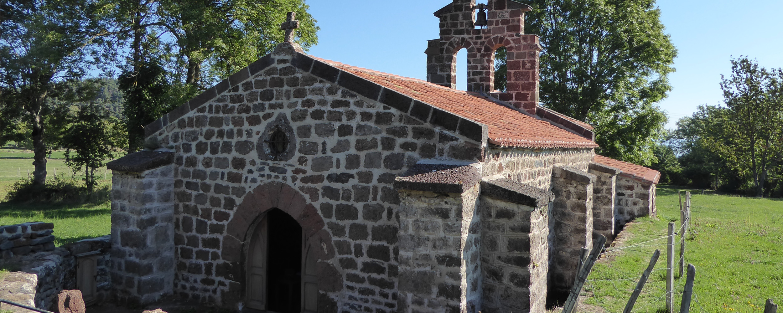
In St. Peter Mistail stands the only unaltered Carolingian triple-apse church in Switzerland. It is believed to have originated around the year 800 based on a mention in a letter from the year 823. The monastery is first documented in a donation deed from 926 by Heinrich I. It is suspected that the founding of Mistail originated from the Cazis monastery in the Domleschg valley.
Tiefencastel has always had great importance on the transit axis over the Septimer and Julier passes.
Savognin. On the hill south of the village was an important Bronze Age settlement. The tourist resort became known in 1978 for the first large-scale use of snow cannons.
Anmerkungen
Until Lenz, the hike is comfortably flat. Then it goes down to the famous St. Peter Mistail church, onwards to Tiefencastel and up to Savognin. A bit strenuous.
Tipp des Autors
The St. Peter Mistail church is definitely worth a visit.
Orte entlang des Weges
We start today's stage with a beautiful hike over the Lenzerheide, followed by the descent to Tiefencastel. We stay on the Via Sett, No. 64.
Via Alvaschein, we reach Mistail, shortly after Tiefencastel, at the crossing over the Albula River, which comes from the Albula Pass. From Tiefencastel, the Flüela Pass road leads into the Engadin.
Tiefencastel. In the year 831, Tiefencastel was first mentioned as the seat of the royal administrator. On the Plattas hill lay a Bronze Age settlement and on the church hill the Roman castellum. Archaeological finds confirm the pre-Christian settlement. In the Early Middle Ages, Tiefencastel was a fortified settlement and in the Middle Ages the place even had a toll bridge. From 960 onwards, Tiefencastel was an episcopal domain.
Our path leads towards the Julier Pass. At the wayside shrine on the Julier road above the village stood the Chapel of St. Ambrosius built in the 6th/7th century.
From Tiefencastel, it goes uphill again. Via Mon and Del, we reach Salouf. The first Bronze Age settlement was established around 2100 BC on a widely visible hilltop on the north side of today's village. Roman settlement remains from the 1st century AD were also confirmed. In the Middle Ages, there was probably a Rhaeto-Romance settlement near the current hamlet Del. When German-speaking Walser passed through the valley towards the end of the 13th century, they settled mainly in the upper half of the valley and the side valleys, typical for the Walser.
From Salouf, we leave the Via Sett (64) for a short distance and hike along the road to Cunters and reach the stage destination Savognin after a beautiful section along the Gelgia stream. This saves us a longer ascent and descent.
From Savognin, the next stage continues again on the Via Sett.