

Rorschach - Herisau - Wattwil
Links and downloads
Partner
Hier könnte das Logo Ihres Unternehmens zu sehen sein
Info dazuOutdooractive-App
Navigation

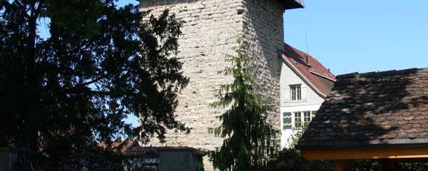
Sulzberg Castle above Goldach
Route: Rorschach-Untereggen - Martinsbrücke - St. Gallen - Käzerenbrücke - Güebsen – Herisau
We start at the harbor in Rorschach and ride on the main road towards Goldach, past the Jakobsbrunnen fountain until we reach St.Gallerstrasse, where we turn left at the roundabout into Industriestrasse. At the end of Industriestrasse, continue straight ahead and shortly afterward turn right (Jakobsweg signpost) into Appenzellerstrasse. We follow this little street uphill, cross Sulzstrasse, and continue on Appenzellerstrasse and Egertenstrasse. There we turn left into Mühlebergstrasse towards Sulzberg Castle.

Castle Pond Sulzberg
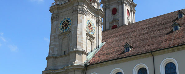
Next, continue on Büelstrasse past the castle pond, where at the end we turn left into Landstrasse and leave the Jakobsweg here. On this road we ride to Vorderhof – Untereggen - Hinterhof to Martinsbrücke. After the bridge, we follow the main road on the marked bike lane, since the Jakobsweg turning left is not passable everywhere. Upon entering St. Gallen, we turn left at the traffic light intersection into Tablarstrasse. At the end of this street, we turn right into Rehetobelstrasse, then after about 600 meters turn left into Flurhofstrasse. From there, we go straight on Linsenbühlstrasse until we can see the cathedral of St. Gallen.

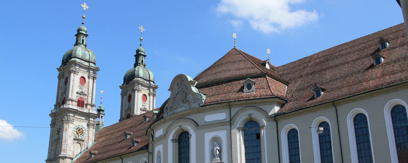
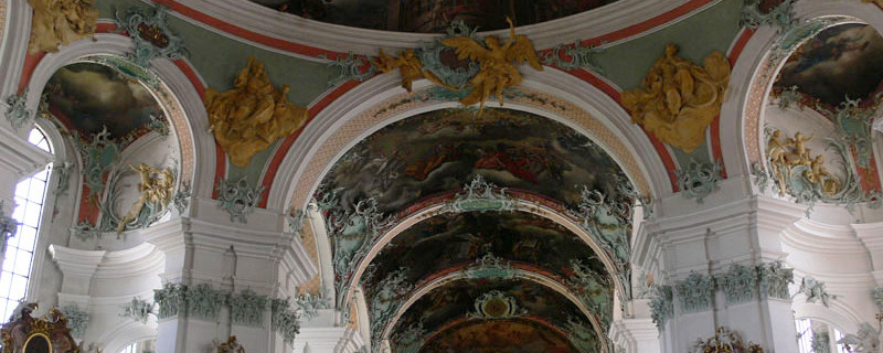
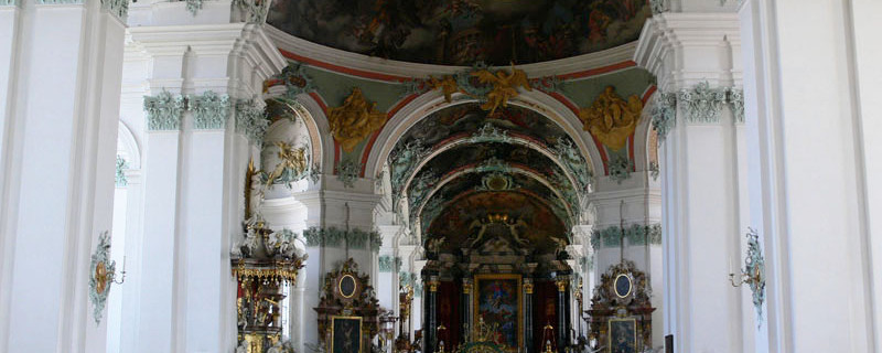
baroque cathedral in the St. Gallen abbey district
St. Gallen - Herisau
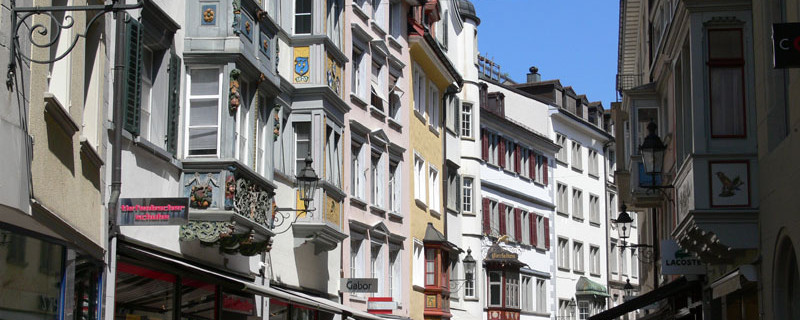
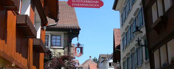
We push the bicycle through the picturesque old town streets with Art Nouveau buildings towards the train station. From the station, we follow not only the official Jakobsweg signposts but also cantonal hiking path signs. We leave St. Gallen via Sankt Leonhardstrasse, which crosses the railway overpass to the west. At the large intersection, we turn left into Bogenstrasse and immediately right into Militärstrasse – Kreuzbleicheweg. At its end, turn right and immediately left into Krügerstrasse – Burgweiherweg, then left into Ahornweg – Eisbahnweg, and then left again into Zürcherstrasse. We follow this street until just before the large motorway bridge, where we turn left into Kräzernstrasse.

from Kräzern to Fürstenland Bridge over Sitter
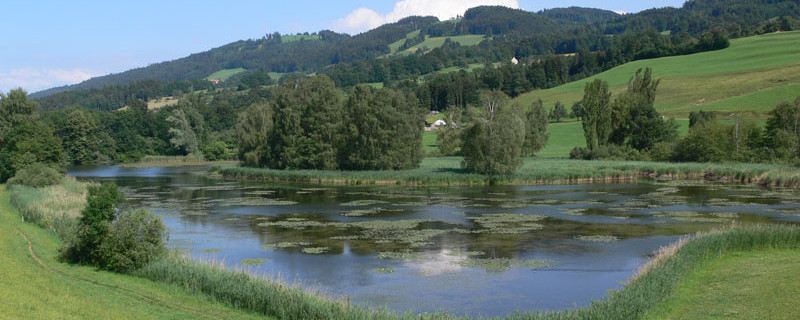
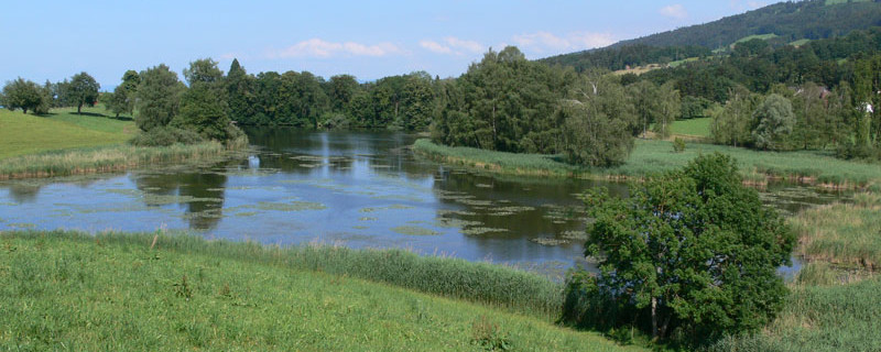
This takes us to Stocken over the homonymous bridge. After a short climb, we turn left into Hofweg (Jakobsweg signpost), then straight on Sturzeneggstrasse over the railway overpass into Gübsenstrasse leading to Lake Gübsensee. We follow the Jakobseg signposts and before Herisau turn over the railway overpass into Schützenstrasse. We continue on this street and do not follow the Jakobsweg, which branches left. At the end, we veer half-left into Buchenstrasse, ride to the roundabout where we turn right into Kasernenstrasse. Then left past the church, then left into Poststrasse and shortly afterward right into Schmidgasse.

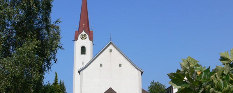
Herisau and St. Lauritius Church
Stage 2
This section of the marked Jakobsweg is not suitable for bicycles on some parts. The marked Jakobsweg leads on footpaths through impassable terrain, stairs, and meadows. Therefore, we suggest a more comfortable route that does not disturb foot pilgrims too much. We start in Schmiedgasse. Shortly afterward, turn right into Neue Steig street, follow a sharp right curve and cross Industriestrasse on the left at the end. Then follow the street with the white signposts to Schwellbrunn.

historic center of Herisau
We pass through the beautiful village of Schwellbrunn and near the end of the village turn right. We follow the white signposts in the direction of Risi – Hinterrisi – Landscheidi – Moosegg – Dicken – St. Peterzell.
Here too, the Jakobsweg used by foot pilgrims is not particularly suitable for bicycles. Therefore, we suggest the following route:

Säntis from the ascent to Schwellbrunn
Wattwil Burg-Iberg
At St. Peterzell at the main road bus stop, turn left onto the main road and shortly afterward right into Hembergstrasse. On the ascent at the end of this street, turn right into St. Peterzellerstrasse. At the second curve, turn left to the Waldrank viewpoint and continue on St. Peterzellerstrasse towards Hemberg. From here, follow bike path No. 4 via Heiterswil to Wattwil.
.
.
Bitte hier klicken für mehr Informationen
Kraftorte in St. Gallen
Kathedrale St. Gallus und Otmar
Die Kathedrale ist in hellen Tönen mit einem zarten Malachitgrün festlich ausgestaltet. Die Kraftpunkte liegen in den beiden Krypten. Auch in der Mitte unter der grossen Kuppel befindet sich ein Kraftort.
www.heiligederschweiz.ch
www.kathsg.ch
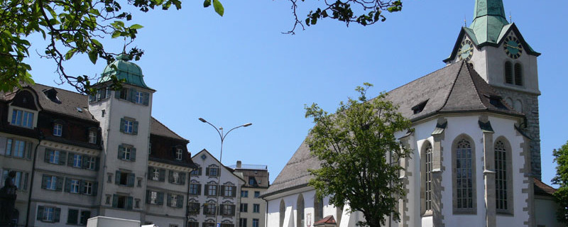
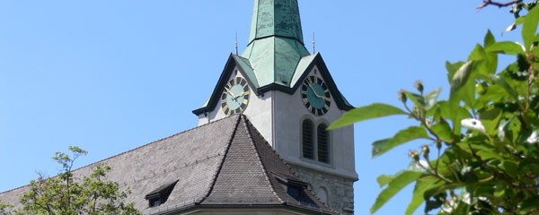
St. Laurenzenkirche
Nicht weit von der Kathedrale ist der schlanke Turm der evang.-ref. St. Laurenzenkirche zu bestaunen. Die Kirche wurde im 12. Jahrhundert gegründet. Sie gehörte am Anfang noch zum Kloster. Seit 1527 wird St. Laurenzen als reformierte Stadtkirche genutzt. Der Kraftort befindet sich beim achteckigen Taufstein.
Die Kirche ist am Montag geschlossen.
www.ref-sgc.ch
Kraftort in Herisau
St. Laurentiuskirche
Wer die St. Laurentius besucht, staunt. Mit ihrer bemalten, gewölbten Decke strahlt sie eine geborgene Atmosphäre aus. Sie ist eines der bedeutendsten religiösen
Bauwerke des Kantons Appenzell Ausserroden.
Die Kirche befindet sich nicht direkt am Jakobsweg, ist aber mit wenig Aufwand zu erreichen (1/4 h). Die Kirche wurde 1516-1520 erbaut.
Zuerst fällt die elegante Spitze des Turms auf.
Zugang: etwa 500 m neben Jakobsweg, Kirchturm gut sichtbar.
www.ref-herisau.ch/
sekretariat@ref-herisau.ch
Anmerkungen
This tour is a bicycle variant for one of the Way of St. James routes in Switzerland. It mostly follows the marked pilgrimage path, but also leads over rideable alternative routes when the original route is not very "bike-friendly" and alternatives are available. Therefore, the route is not suitable for racing bikes.
Orte entlang des Weges
Rorschach - Goldach - Untereggen - St. Fiden - St. Gallen - Bruggen - Herisau - Schwellbrunn - Risi - Sitz - Landscheidi - Dicken - St. Peterzell - Hofstetten - Hemberg - Schlatt - Heiterswil - Wattwil