Burgdorf: Castle

Burgdorf: Castle

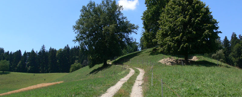
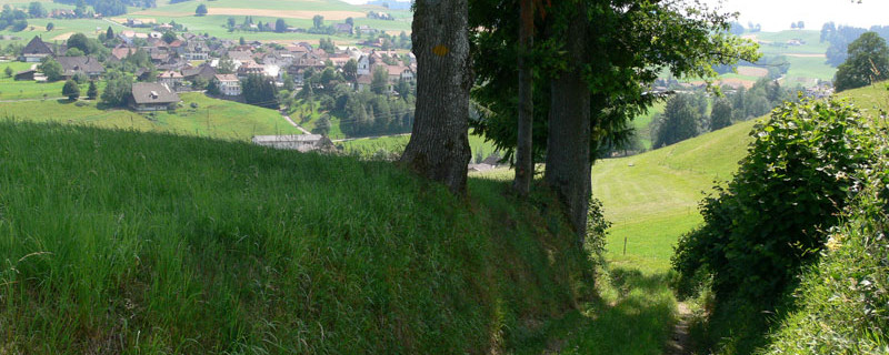
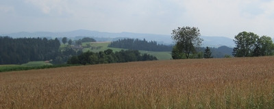
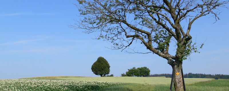
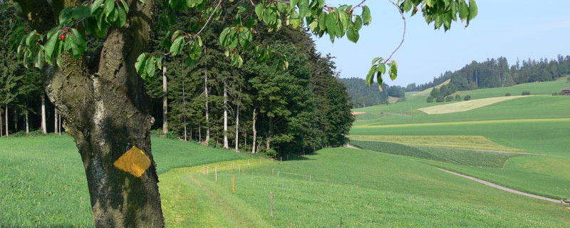
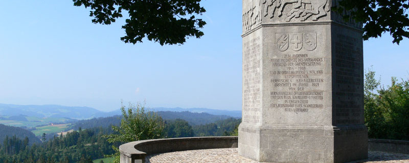
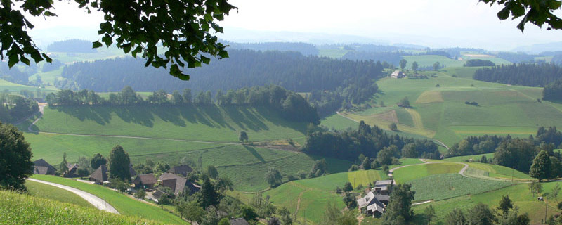
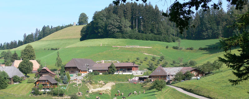
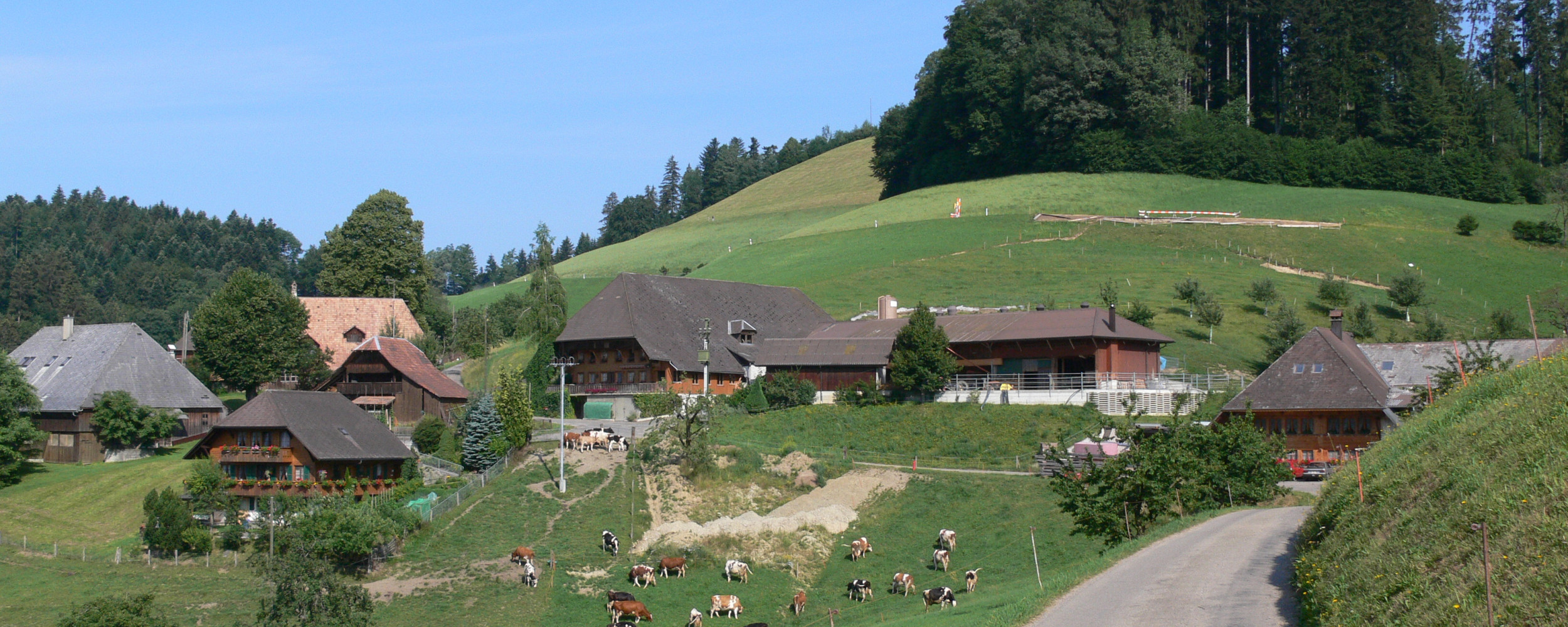
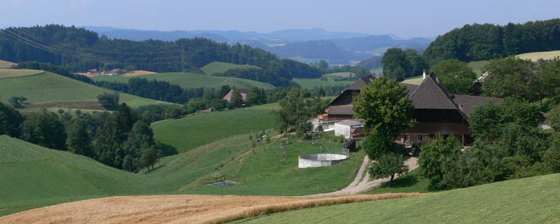
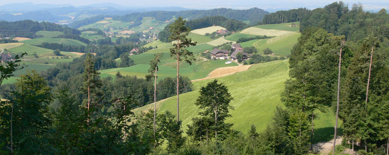
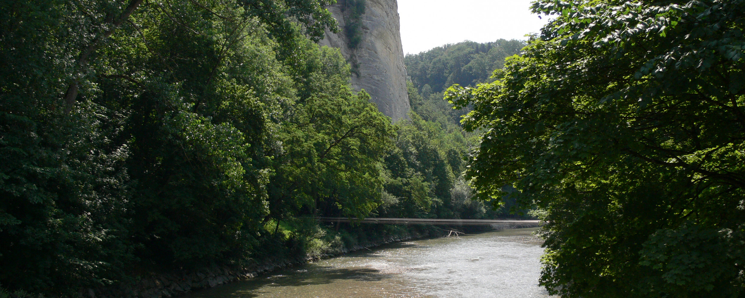
Today's stage will take us over a distance of 23.4 km with a walking time of about 6.5 hours from Huttwil to Burgdorf. A difficult stage awaits us. We start the hike at Huttwil station and leave the town in a westerly direction. We follow the signposted paths and arrive in Dürrenroth after about 6.0 km. We continue to follow the course of the Rotbach river westwards and cross the river and the main road near Häusernmoos. The trail today leads us over asphalt and natural paths. After about 15.0 km, we reach the highest point of the stage at Lueg with an altitude of 887 m. We then descend again and pass various farms and small villages on the remaining route. We cross the Emme river and arrive in Burgdorf.

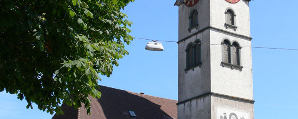
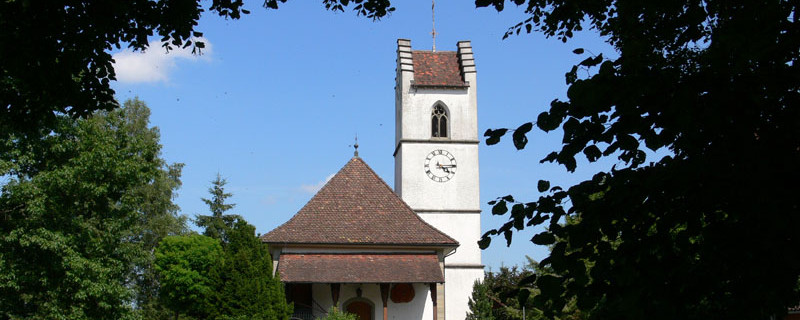
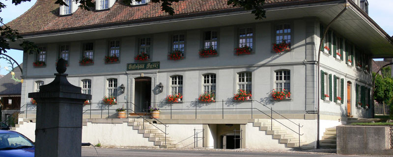
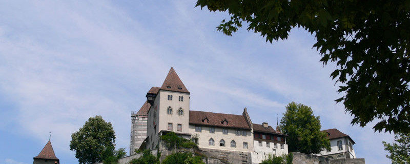
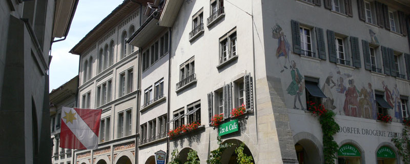
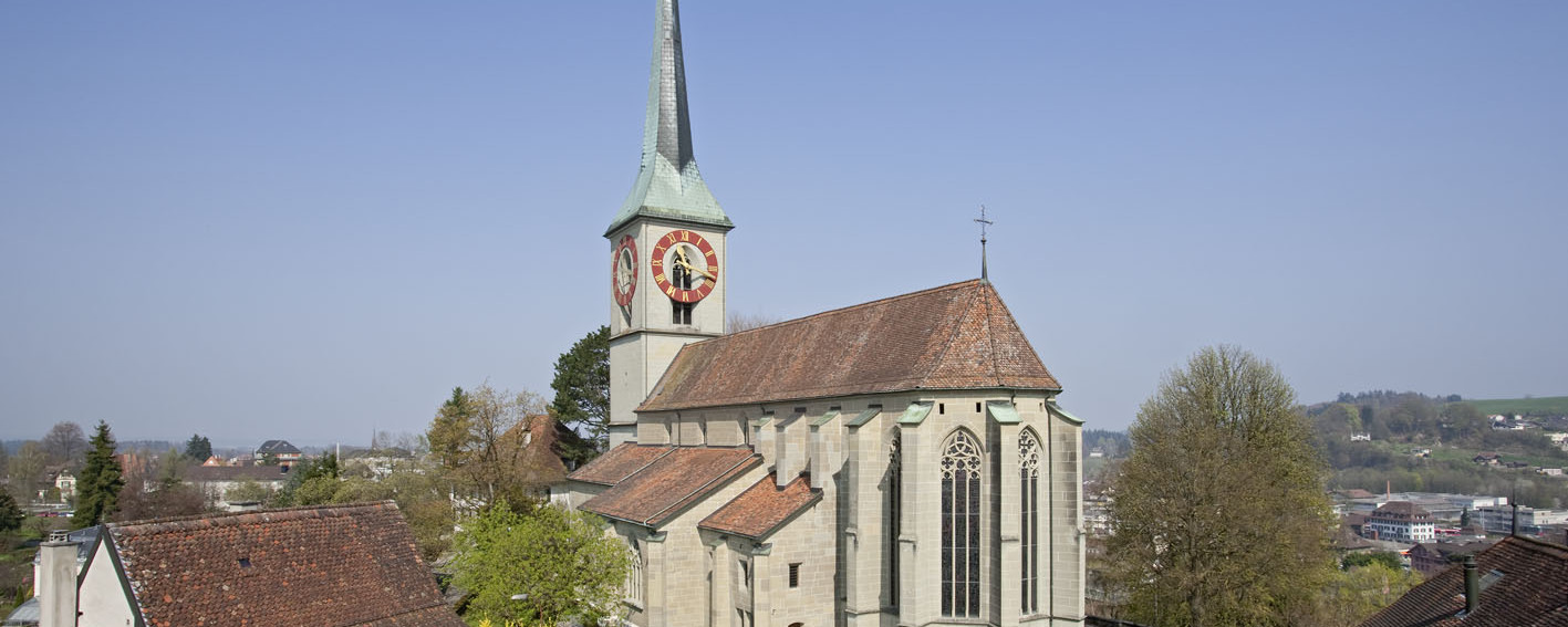
Today we pass the following sights: Church of Dürrenroth, Burgdorf Castle

Anmerkungen

The section Huttwil - Burgdorf is part of the Luzerner Way, which will lead us from Lucerne to Rüeggisberg. We are on the Swiss Jacob's Ways.

Orte entlang des Weges

Huttwil - Fiechten - Fiechtenberg - Kaltenegg - Dürrenroth - Häusernmoos - Herbrig - Juch - Junkholz - Heimismatt - Kaltacker - Burgdorf

Camino Europe ist kostenlos
GPS-Tracks, Informationen und Karten bieten wir zum kostenlosen und anonymen Download an. Alle für die Reise wichtigen Informationen wollen wir auch in Zukunft so anbieten können. Dank grosszügiger Spender, welche uns gelegentlich etwas Geld gespendet haben, war uns das bisher möglich. Jede noch so kleine Spende hilft uns, dass wir auch weiterhin ohne lästige Werbung dies so bieten können.

Der Download läuft bereits, ganz ohne Spende !
PS: Falls der Download nicht automatisch startet: hier klicken

Guten Tag

Möchten Sie Ihr Hotel, Restaurant oder Ihren Shop am Etappenziel bewerben? Mehr Informationen dazu:

https://camino-europe.eu/de/x/l2/

Herzliche Grüsse
Ihr Camino Europe Team