

Winterthur-Pfäffikon
Zürcherweg: Wegabschnitt Winterthur-Pfäffikon
23.35 km /
06:20 h /
301 m /
402 m /
max. 688 m/alt
Accommodation and info points
WinterthurLinks and downloads
Partner
Hier könnte das Logo Ihres Unternehmens zu sehen sein
Info dazuOutdooractive-App

Navigation
To the next section Pfäffikon- Rapperswil
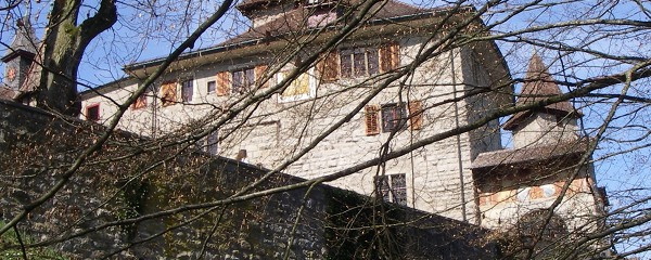
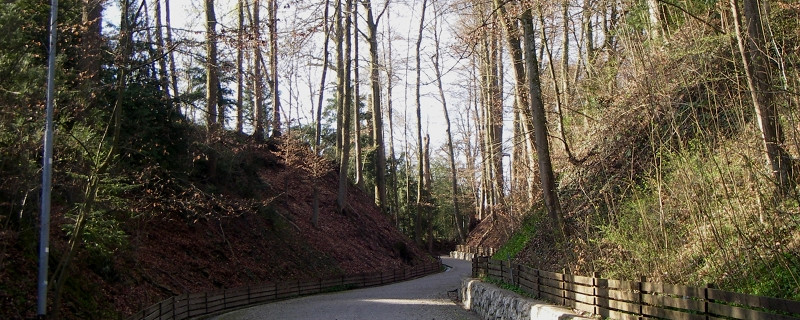
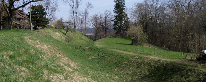
Today's stage will lead us over a distance of 22.3 km with a walking time of about 6.0 hours from Winterthur to Pfäffikon. We face a difficult day stage. We start the hike at Winterthur's Kirchplatz and leave the city heading south. We follow the signposted paths and immediately ascend the Eschenberg. The path leads us down again and we cross the Töss. After about 7.0 km and another ascent, we arrive in Kyburg. The path continues through the Eschenberg forest and after about 9.5 km at 688 m altitude we reach the highest point of the day's stage. We continue past numerous smaller villages and reach Russikon after about 17.0 km. We leave the village heading south and reach the shore of the Luppmen. We follow it for about 1.0 km, then turn right and arrive in Pfäffikon. Today’s path takes us over asphalt and natural trails.
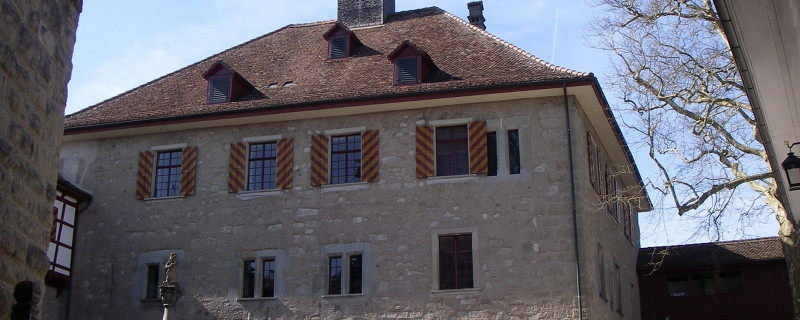
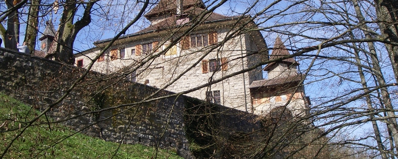
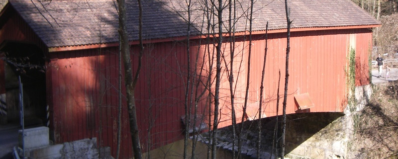
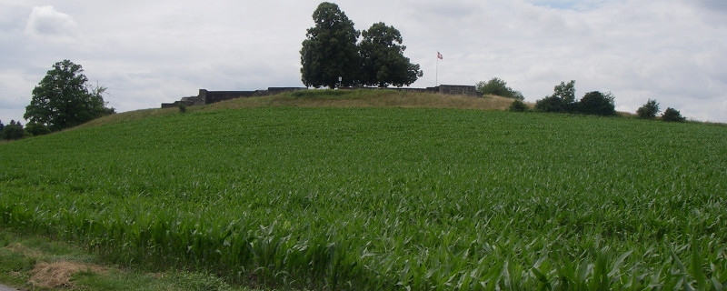
Today we pass the following sights: Eschenberg lookout tower, Kyburg Töss bridge, Kyburg castle
Anmerkungen
The section Winterthur - Pfäffikon is part of the Schaffhauser-Zürcher route, which will take us from Blumberg to Rapperswil-Jona. We are on the Swiss pilgrim paths.
Orte entlang des Weges
Winterthur - Heiligberg - Bruderhaus - Eschenberg - Kyburg - First - Agasul - Rumlikon - Russikon - Pfäffikon (ZH)