

Urnaesch-St.Peterzell-Wattwil
Section Urnaesch-St.Peterzell-Wattwil
20.93 km /
06:27 h /
938 m /
717 m /
max. 1126 m/alt
Links and downloads
Partner
Hier könnte das Logo Ihres Unternehmens zu sehen sein
Info dazuOutdooractive-App


Navigation
To the next section Herisau-Wattwil

Wattwil Castle
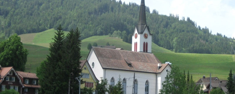
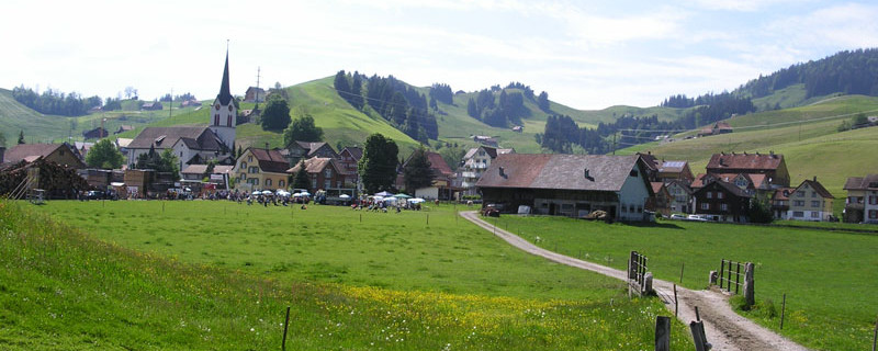
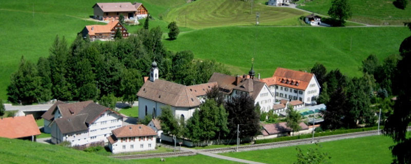
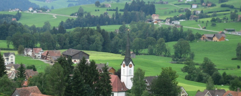
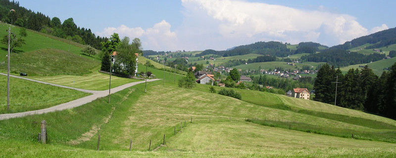
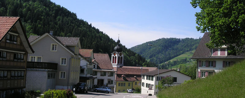
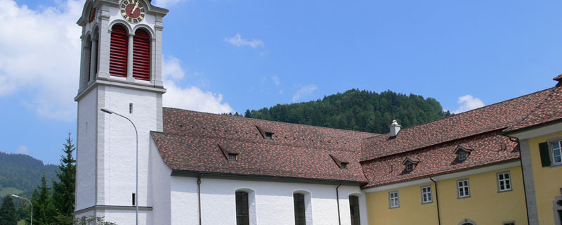
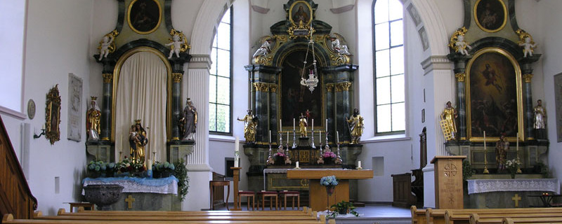
Today's sights include: the monastery village St. Peterzell
Anmerkungen
The section Urnäsch - St. Peterzell - (Wattwil) is part of the Vorarlberg-Appenzeller route, which will lead us from Rankweil to St. Peterzell / Wattwil. We are on the Swiss pilgrimage routes.
Orte entlang des Weges
Urnäsch - Hintereggli - Füliweid - Fuchsstein - Schönengrund - Tüfi - Stofel - St. Peterzell - Hofstetten - Niderwil - Heiterswi - Scherrer - Eschenberg - Schwantleregg - Wattwil