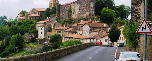
Le Puy-En-Velay: start of the «Via Podiensis»

Le Puy-En-Velay: start of the «Via Podiensis»

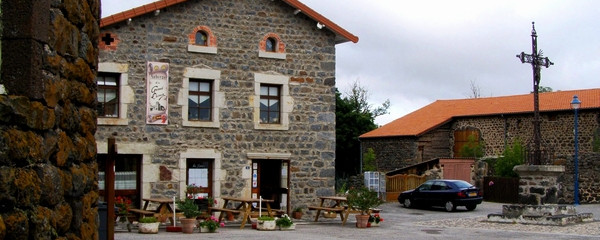
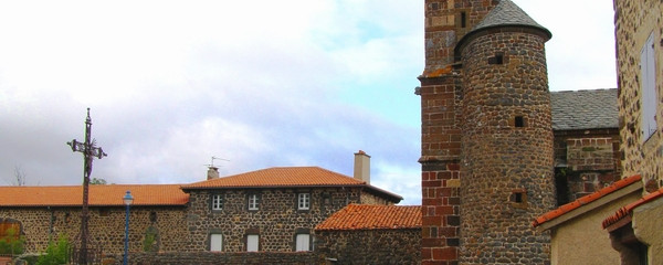
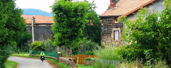
We remain in the Dept. Haute-Loire, but today we change from the basin of Velay over a watershed to the valley of the Allier, although not all the way down to the Allier.

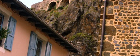
On the Via Podiensis, we very soon leave behind the hustle and traffic of this charming town, but about 20,000 inhabitants still leave their traces. Soon we reach a hill that allows a view back to the town, dominated by the cathedral. Also striking are the two basalt needles, on one stands the Chapel Saint-Michel-d´Aiguilhe, on the other the statue Notre Dame de France.

After a fairly even, pleasant ascent on asphalt, a somewhat steeper descent follows behind the hill, which should hardly cause us any difficulties.

Anmerkungen

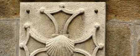
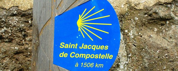
The Via Podiensis begins in Le Puy-En-Velay and leads us to St. Jean Pied de Port. It corresponds to the long-distance hiking route 65 and is marked with the shell and with red-white bars.

Dieser Download ist kostenlos
GPS-Tracks, Informationen und Karten bieten wir zum kostenlosen und anonymen Download an. Alle für die Reise wichtigen Informationen wollen wir auch in Zukunft so anbieten können. Dank grosszügiger Spender, welche uns gelegentlich etwas Geld gespendet haben, war uns das bisher möglich. Mit einer kleinen Spende hilfst Du, dass wir die wichtigsten Informationen auch in Zukunft kostenlos weitergeben können. Mit den Spenden finanzieren wir unsere Internetplattform, halten sie aktuell und auf dem technisch richtigen Niveau. Vielen Dank für Deine Unterstützung.

Der Download läuft bereits, ganz ohne Spende !
PS: Falls der Download nicht startet: hier klicken

Guten Tag

Möchten Sie Ihr Hotel, Restaurant oder Ihren Shop am Etappenziel bewerben? Mehr Informationen dazu:

https://camino-europe.eu/de/l/l2/

Herzliche Grüsse
Ihr Camino Europe Team