

Lébény-Mosonmagyaròvàr
Partner
Hier könnte das Logo Ihres Unternehmens zu sehen sein
Info dazuOutdooractive-App


Navigation

Behind Lébény

Kimle
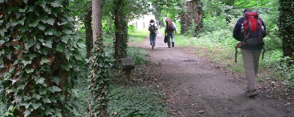
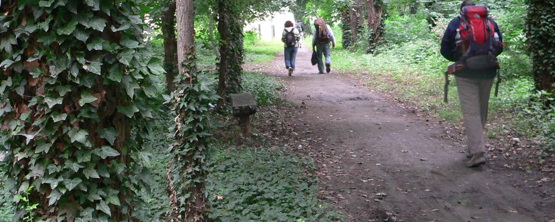
We walk on the main road through the elongated village and then switch to an asphalted bicycle path, reaching the town of Mosonmagyaróvár, which can boast a 2000-year history.
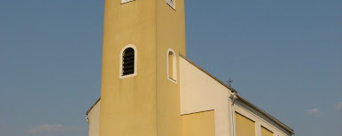
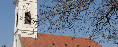
The city, enriched with sights, lies on the rivers Moson Danube and Lajta, a river originating from the Alps. Due to the medieval street network and the well-preserved monuments, the city is counted among those that stand out in history. This stage ends in the city center, at the Holy Mary and Saint Gotthard Church, where restaurants, shops, and accommodation options are offered.

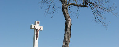
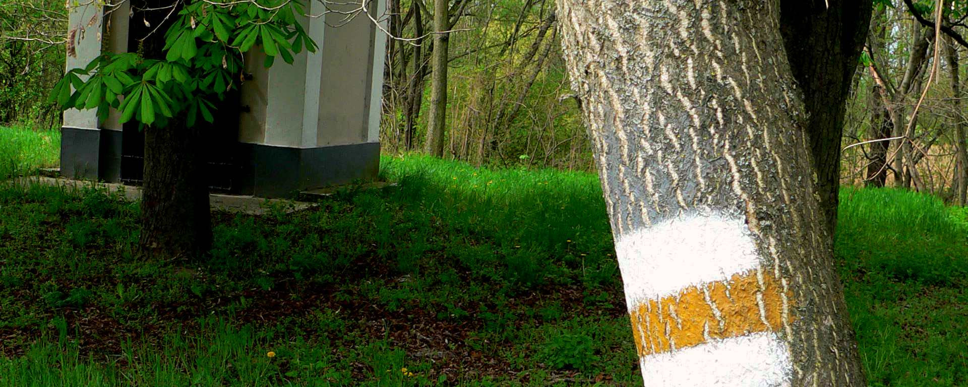
Behind Kimle: Anna Chapel
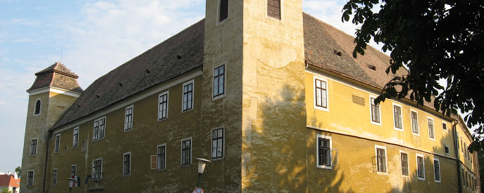
As an alternative route, we can follow the path marked with blue shells towards Hédervár, which branches off at Kimle. If we choose this path, we can visit Hédervár Castle, the Boldogasszony Chapel, one of the oldest trees in the country, the over 700-year-old Árpád Tree, as well as the Peregrinus Chapel. From Hédervár, past Darnózseli, we rejoin the main path at Máriakalnok.

Behind Kimle: Signpost at Anna Chapel
Note(s)
The Way of St. James in Hungary from Budapest to Wolfsthal runs continuously on the western or southern side of the Danube. Wolfsthal lies slightly southwest of Bratislava, making the continuation of the path westwards from Wolfsthal also a route for pilgrims coming from Slovakia.
: From Lébény, the Martinsweg markings accompany us up to Károlyház, with Kimle and Máriakalnok on the way. The Martinsweg markings indicate a right turn at the junction in Máriakalnok, while the Way of St. James markings go straight ahead. We continue through the village and on the bicycle path towards Mosonmagyaróvár. In the town of Mosonmagyaróvár, we follow the Way of St. James markings.
If we take the alternative Hédervár route, we follow the blue shells from the main road in Kimle to Máriakalnok.
Orte entlang des Weges
Lébény - Károlyháza - Kimle - Mosoni Danube - Magiarkimle - Máriakalnok - Mosonmagyaróvár