Links and downloads
Navigation

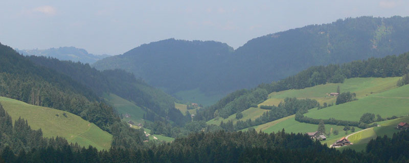
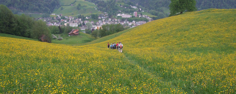
St. Peterzell vom Süden
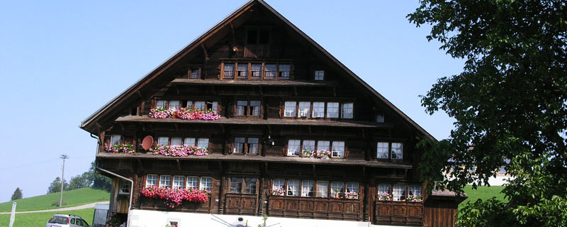
Wir passieren heute folgende Sehenswürdigkeiten: Klosterdorf St.Peterzell, traditionelle Holzhäuser im Weiler Hofstetten
Bitte hier klicken für mehr Informationen

Herisau market square
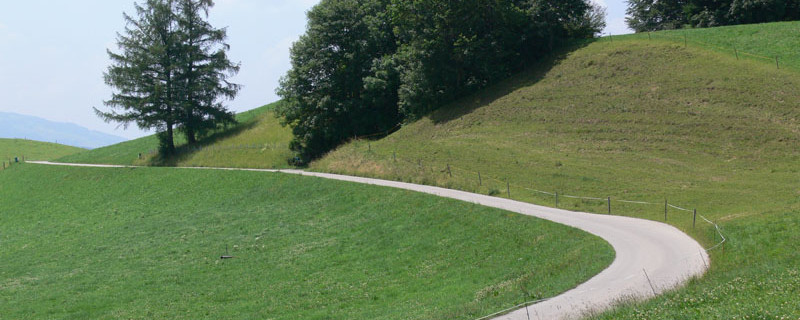
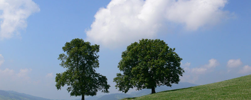
Over gently rising alpine pastures, we climb up to the hamlet of Nieschberg, some 200 m higher up. Under the linden tree on the summit, we enjoy the outlook to Lake Constance in the distance. Continuing southwards, the mountain path takes us across the “Hörnlipass” to the farm “Vollhofstatt”. We remain on the mountain path which, while gently rising, turns westwards and leads us over pastures, hay meadows, past farmhouses and edges of woods to “Säntisblick” where we cross the access road to Schwellbrunn. We continue in the same direction to the lookout point “Sitz” 100 m higher.

Risi way
Passing Schwellbrunn on its southern side, we continue on alpine pastures and through the “Risiwald” up to the “Risi-Hirschen” crossing. Then on the mountain road up to a plateau, and further to the west over the chain of hills to the mointain inn “Sitz”. While taking a refreshing drink, we enjoy the gorgeous panoramic view over the gentle hills of the Appenzell region and down into the “Tüfenbachtal”. From “Sitz”, a footpath leads over the descending meadow to the road near the inn “Landscheidi”. This path is also part of the “Rätselweg” (mystery trail) of Schwellbrunn. We cross the road and climb in a southern direction up to “Höchi” and further along the chain of hills past “Arnig” and “Lindschwendi” down to the inn “Chäseren”.

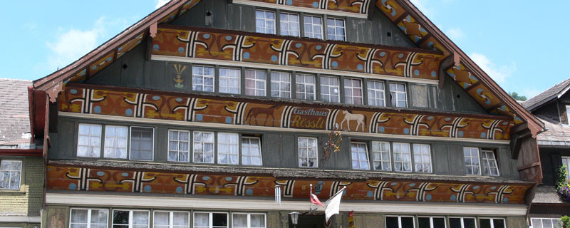
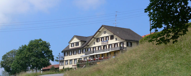
Restaurant Rössli St. Peterzell
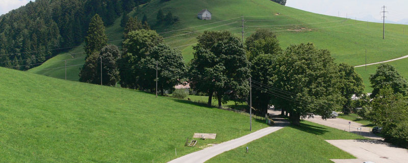
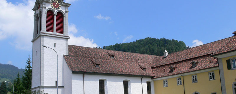
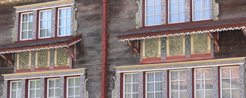
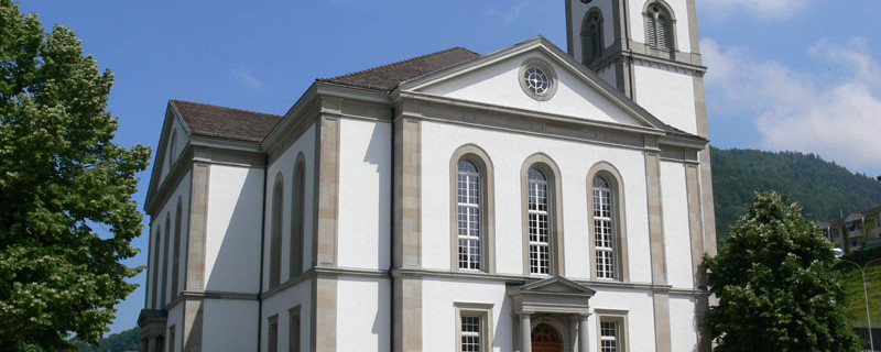
Now begins the descent (250m difference in elevation) over hilly terrain into the valley of the Necker river,first on the mountain road and then on the footpath turning off to the left down to “Aemisegg”. We take the road down to the farmstead “Berg” and take the old mountain path there to come down to St.Peterzell which offers some noteworthy sights, such as the baroque parish church, the “Rotes Haus” with the picturesque wooden facade, and the former provostry.
St. Peterzell - Wattwil

St. Peterzell parish church
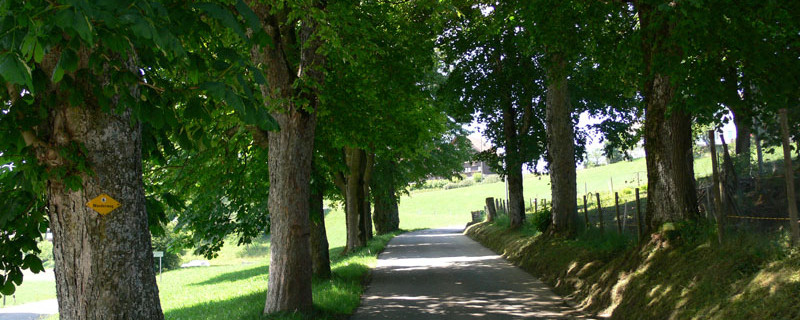
After taking a refreshment in the restaurant “Schäfle”, an old pilgrim’s hostel in the Appenzell style, we continue on the Hembergstrasse which crosses the river Necker and then take the mountain path to the right up to “Bädli”. An old shield depicts a wooden bathtub with pilgrim and the caption “Allhier zum Bad”. Up through the hollow way we reach the hamlet of Hofstetten with its traditional chalets. Then westwards to the wooded, about 70m deep “Schlifen” ravine which we traverse, then in a south-western direction upwards to the scattered settlement Niderwil. On we go due west over pastures and through a small wood until shortly before Heiterswil. There, we turn sharply to the right and climb up to the mountain road and further to the vantage point “Scherrer” with the restaurant “Churfirsten”.

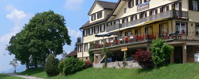
Guest house Churfirsten
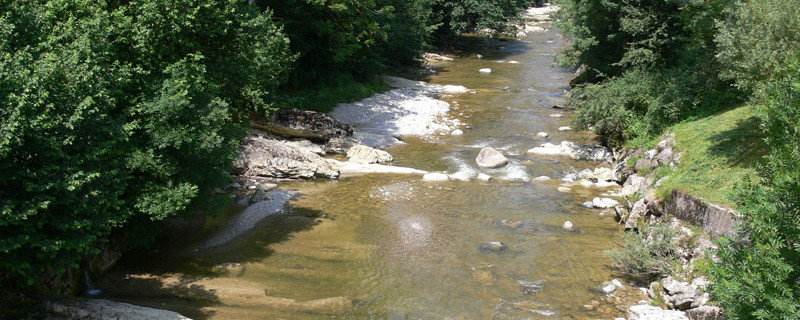
With the mountains Säntis, Churfirsten and Speer in our range of vision, we start the descent via “Schwantleregg” and “Hütten” into the Toggenburg valley, about 400m lower. The mountain path is quite steep at places and leads along the north slope of the Eschenberg and through hilly meadows, past lonely farms down to the main road in Wattwil. We cross the main road, and skirting the factory area on its western side, we come to the Thur bridge, after which we turn off to the right to the Auweg that takes us along the Thur river to the Bahnhofstrasse and the destination of this stage, the railway station of Wattwil.
Anmerkungen
Der Abschnitt Herisau - Wattwil ist Teil des Rorschacher Astes, der uns von Rorschach nach Einsiedeln führt. Wir befinden uns auf den Schweizer Jakobswegen.
Orte entlang des Weges
Herisau - Müli - Nieschberg - Brunnhalden - Säntisblick - Risi - Landscheidi - Arnighöchi - Lindschwendi - Chäseren - Aemisegg - St. Peterzell - Necker - Hofstetten - Niderwil - Scherrer - Schwantleregg - Wattwil

