Links and downloads
Navigation

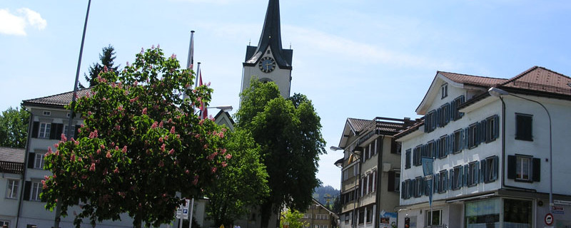
Appenzell: Dorfstrasse
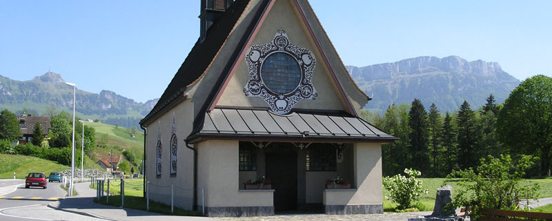
Wir passieren heute folgende Sehenswürdigkeiten: St.Magdalena-Kapelle, St.Anna-Kapelle, Pfarrkirche St.Mauritius, Rathaus Appenzell
Es besteht die Möglichkeit einen Teil des Weges Barfuss zu begehen.
Bitte hier klicken für mehr Informationen

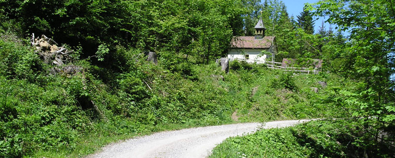
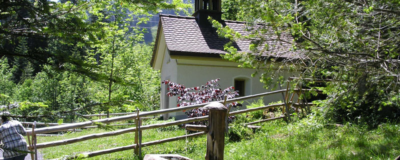
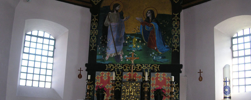
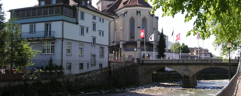
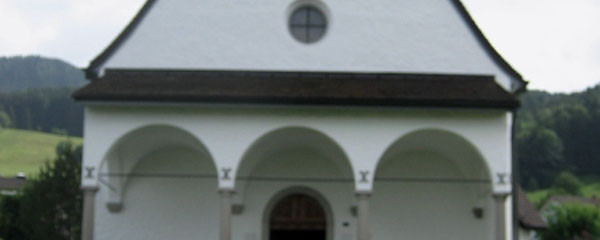
St. Magdalena chapel
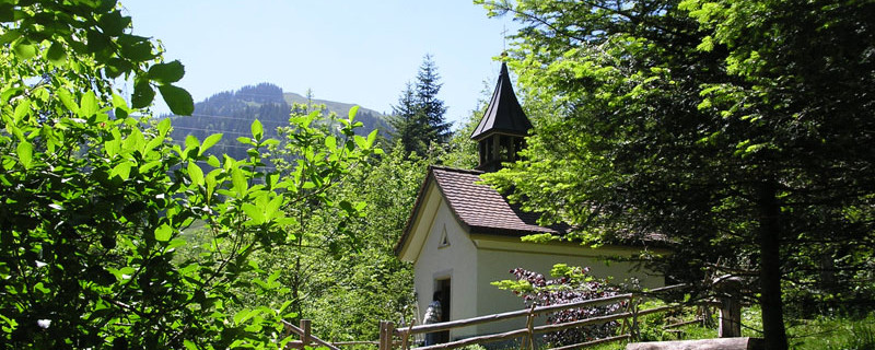
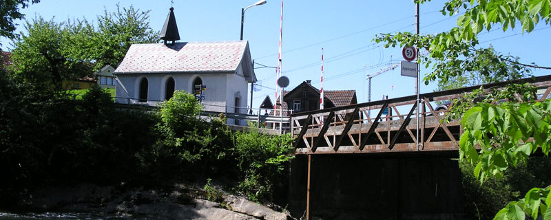
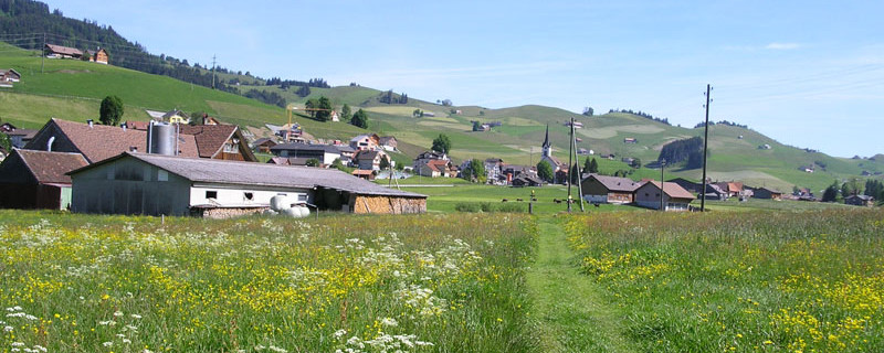
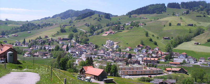
Beside a bridge stands the St. Anna chapel, dating from the 18th century. On a footpath beside the Sitter, we come to Appenzell, the capital of the canton of Appenzell-Innerrhoden. The name of the place is derived from “Abbacella”, an estate of the abbot of the monastery of St. Gallen and becoming a parish of its own right in the 11th century.

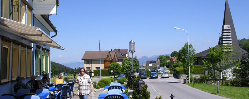
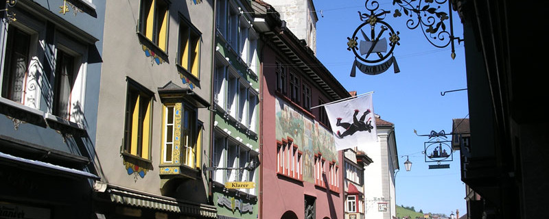
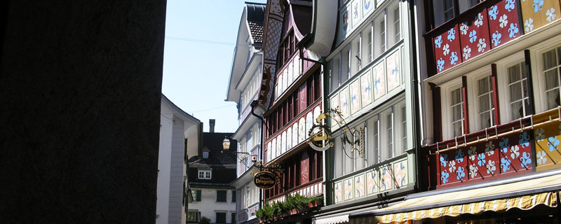
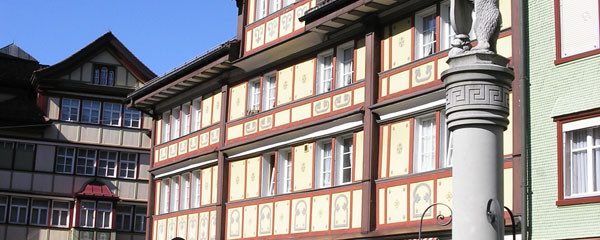
Village road in Appenzell
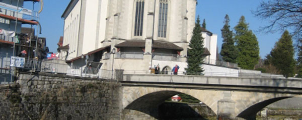
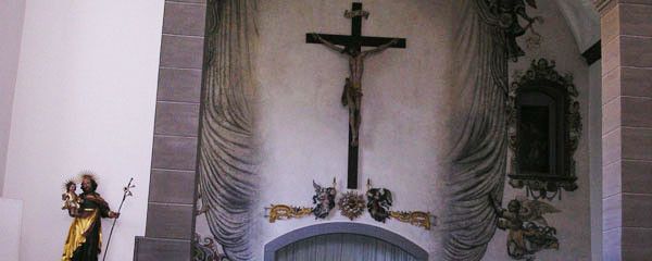
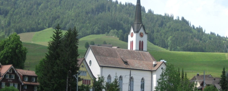
The parish church St. Mauritius with choir, spire and crypt (from the late 15th century), the ceiling frescoes and wall paintings, is worth seeing, as are the town hall and the colourfully painted wooden houses with the curved gables, typical for the place. Past the Capuchin monastery, we arrive at the western town exit of Appenzell.
There, we follow the bypass road a short distance, then walk on the old imperial road past meadows to Gontenbad (883m). Near the old-age home, we cross the street, and behind the “Natur-Moorbad”, we cross the railway line.

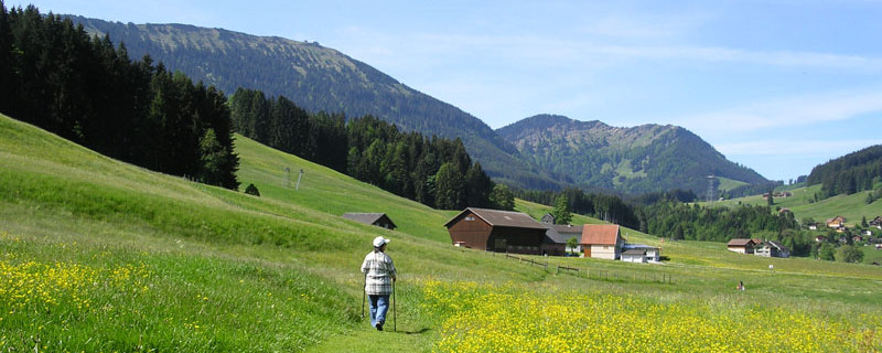
"Barfuss" path
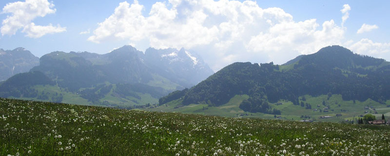
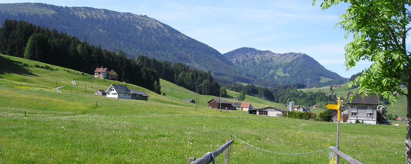
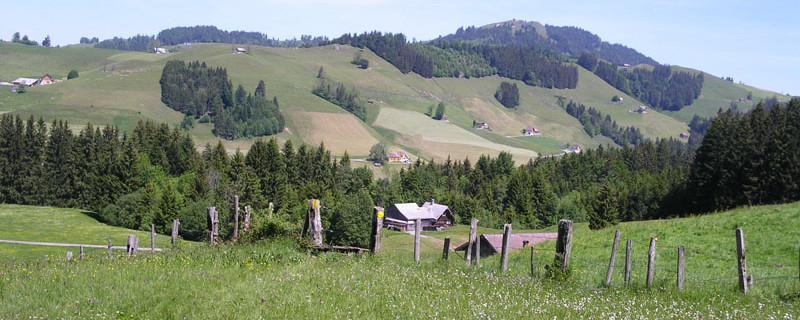
The “Barfussweg” (barefoot path) then leads us towards Gonten (902m) which we reach on the field path near the railway station. In the pilgrimage church St. Verena, we find the Gnadenbild (picture of a saint with the power to work miracles) Maria Trost (Mary of the Consolation) from the 17th century, and a glass painting showing St. James as the patron saint of the alpine herders. We continue on our way, again on the barefoot path towards Jakobsbad. Here we enjoy the unique outlook towards the mountains Säntis and Kronberg. On the way we are told that in the Middle Ages, a hermit lived near the summit of the Kronberg (1662m), and that a chapel dedicated to St. James and St. Bartholomew has been there since the 15th century. Below the summit, there is a source, the “Jakobsquelle”, and its waters were said to have healing powers. The comfortable and well-marked path is often walked-on barefoot. In the restaurant “Skilift” between Gonten and Jakobsbad, guests are served also in summer.

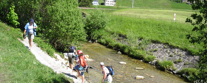
Food bath in the river
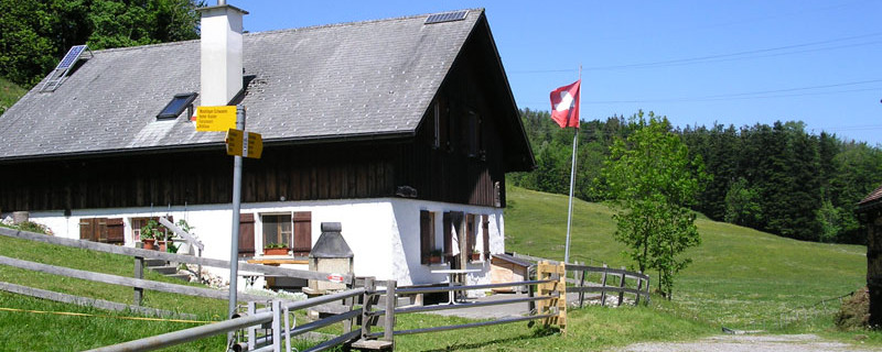
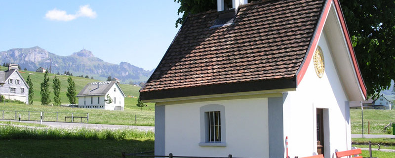
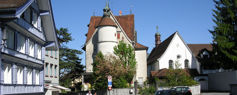
Near the camping site, we then come to the small St. Anna chapel, built in 1771 and renovated in 2002. Not far from Jakobsbad, we cross the Wissbach (brook) where we can take a pleasant footbath near the bridge, also thanks to a handrail there. Then, crossing below the railway line, we come to the valley station of the gondola lift and further on to the spa hotel Jakobsbad (869m). The barefoot path ends here. Barely some minutes away, the monastery Leiden Christi (The Sufferings of Christ) with its church invites us to take a rest and to meditate. The Capuchin monastery is known for its pharmacy of herbs. Behind the monastery begins the way of meditation. We follow it up the incline until via mountain meadows, through small woods and past farmsteads, we come to the alpine dairy farms Studen (950m), and somewhat higher up, Unter-Luftegg (1000m). Then we descend past the farm Chräghof (923m) and Heumösli (888m) down to Urnäsch, at first on mountain meadows, then on a small rural road. We leave the road in order to climb on a field path down to the railway line.

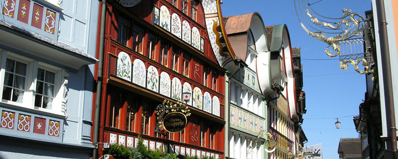
Guesthouse "Krone" in Urnäsch
We cross it in front of the new Widen bridge (816m), pass the railway station and come into the village of Urnäsch. In the Middle Ages, the present reformed church was dedicated to the apostles Philippus and Jacobus. Of particular appeal are the village centre with the colourful wooden houses from the 17th and 18th centuries, as well as the museum of Appenzell traditions and customs.
Anmerkungen
Der Abschnitt Eggerstanden - Urnäsch ist Teil des Vorarlberg-Appenzeller-Weges, welcher uns von Rankweil nach St.Peterzell / Wattwil führen wird. Wir befinden uns auf den Schweizer Jakobswegen.
Orte entlang des Weges
Eggerstanden - Steinegg - Sittertal - Appenzell - Rinkenbach - Gontenbad - Gonten - Som - Jakobsbad - Unter Lauftegg - Urnäsch

