Kirche von S-chanf

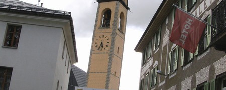
Kirche von S-chanf

This alpine stage switches from the Inn/Black Sea catchment area to the Rhine/North Sea catchment area in which almost all the remaining Way of St. James in Switzerland is located. Just before Lausanne, the route crosses over into the Rhône-Mediterranean basin catchment area, but there is still some way to go before then. Bear in mind on this stage that, after leaving Susauna as far as Dürrboden, the route is remote from any tourist infrastructure - not just in terms of food and drink but also with one eye on the weather.
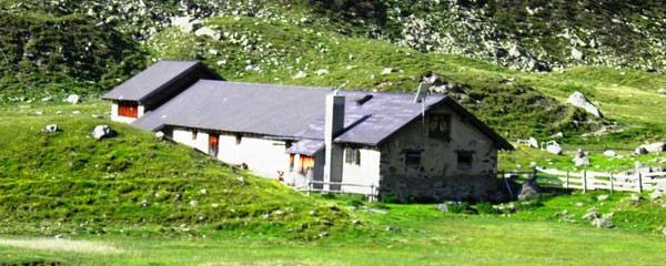
Gehöft und mittelalterlicher Turm bei Chapella

Gehöft und mittelalterlicher Turm bei Chapella

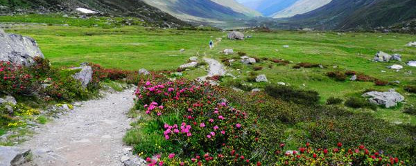
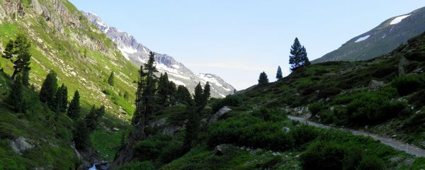
The first section as far as the junction at Chapella into the Val Susauna and from there for several kilometres into the valley is very flat and ideal for hiking. The route then begins to climb steeply, although still on a track as far as the Alp Funtauna. There is no restaurant on the Alp Funtauna but the babbling brook nevertheless encourages you to pause awhile and recharge your batteries from your rucksack. This is followed by the final ascent on the historic mule and pilgrims' way up to the Scaletta Pass, the highest point of the Way of St. James in Grisons, curving around a number of bends and then heading northwards to the crossover. In the upper region, the trail is impressively near rocky outcrops, but the trail nevertheless follows an easy path.

Kirche im Dorfkern von Susauna

Kirche im Dorfkern von Susauna

After a further rest at this high level, the highest point of the Way of St. James in Switzerland, the trail then leads for around 1 kilometre through rough and then fine scree. It is advisable to walk along this section in a calm and controlled manner to avoid tripping. When the trail becomes flat again, stride out again towards Dürrboden - the first tourist village after crossing the Alp.

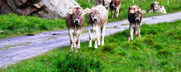
interessierte «Einheimische» bei Plaun Margun

interessierte «Einheimische» bei Plaun Margun

Note(s)

Important: The Grisons Way, in Romansh the Via Son Giachen, takes pilgrims from the Val Müstair and the South Tyrol through the Canton of Grisons and then through the canton of Uri to the «Inner Swiss Way», which it joins at Seelisberg/Oberdorf above Lake Lucerne. Certain section of this hiking route, which is extremely Alpine in parts (signposted as regional route 43 and then 77 as far as Amsteg), can naturally only be walked towards summer.

See also

More on the Grisons Way of St. James: www.jakobsweg.ch/home/wegstrecken/jakobsweg-graubuenden/

Anmerkungen

Der Pilgerweg Via Son Giachen führt vom Südtirol her  durch das Val Müstair im Kanton Graubünden Richtung Zentralschweiz oder Wallis.  Der zum Teil alpine Pilgerweg ist  nur  in warmen Jahreszeiten durchgehend begehbar.

Tipp des Autors

Vom Dürrboden aus gibt es eine Postauto-Verbindung nach Davos.

Camino Europe ist kostenlos
GPS-Tracks, Informationen und Karten bieten wir zum kostenlosen und anonymen Download an. Alle für die Reise wichtigen Informationen wollen wir auch in Zukunft so anbieten können. Dank grosszügiger Spender, welche uns gelegentlich etwas Geld gespendet haben, war uns das bisher möglich. Jede noch so kleine Spende hilft uns, dass wir auch weiterhin ohne lästige Werbung dies so bieten können.

Der Download läuft bereits, ganz ohne Spende !
PS: Falls der Download nicht automatisch startet: hier klicken

Guten Tag

Möchten Sie Ihr Hotel, Restaurant oder Ihren Shop am Etappenziel bewerben? Mehr Informationen dazu:

https://camino-europe.eu/de/l/l2/

Herzliche Grüsse
Ihr Camino Europe Team