Sicherheitshinweis:

Unterseen Weissenau
Reason: Construction & maintenance work
Info

Beatushöhlen

Beatushöhlen

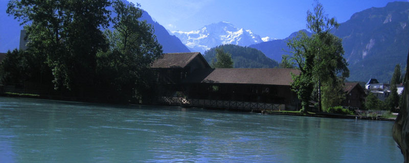
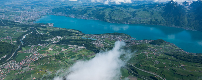
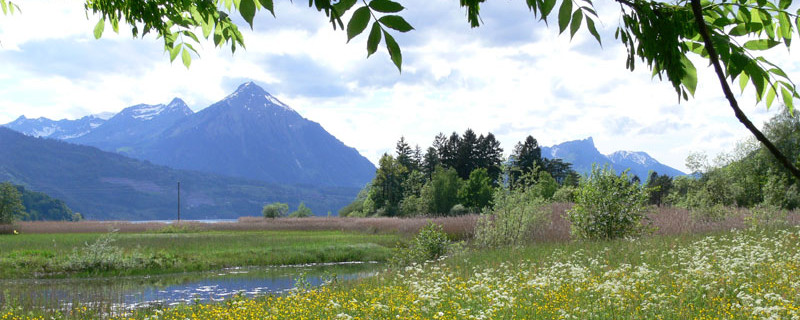
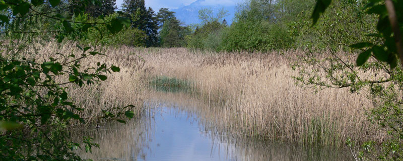
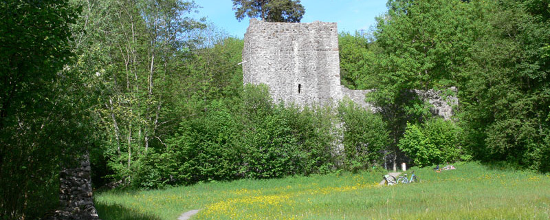
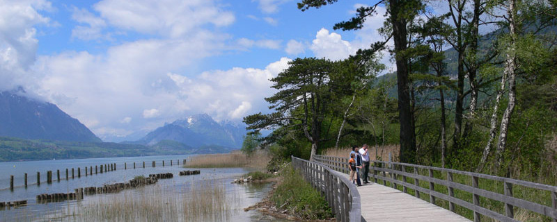
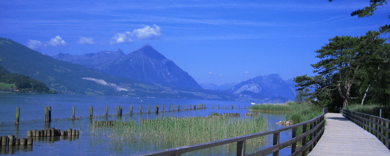
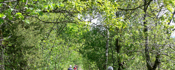
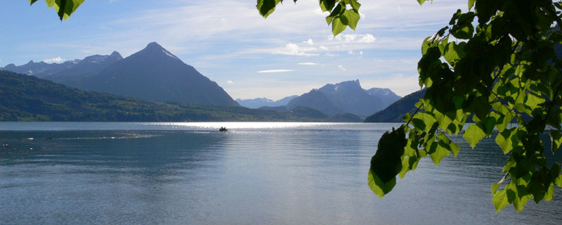
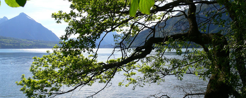
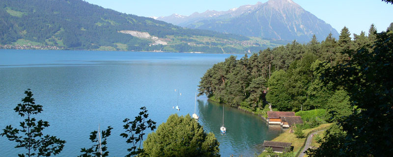
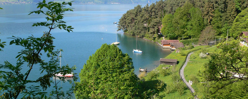
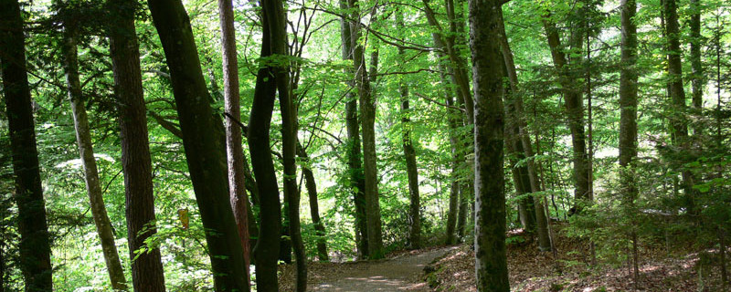
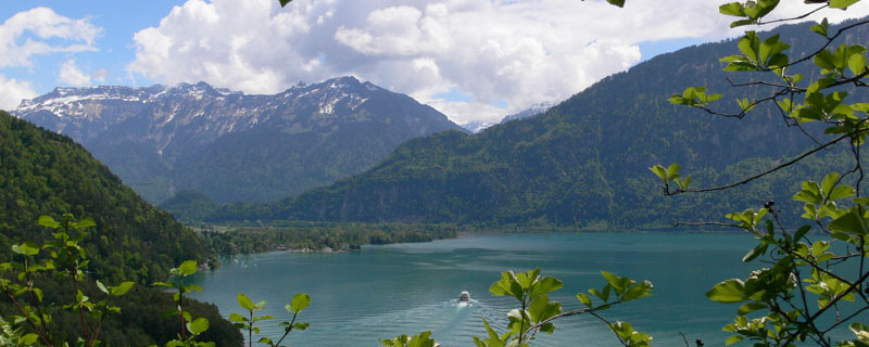
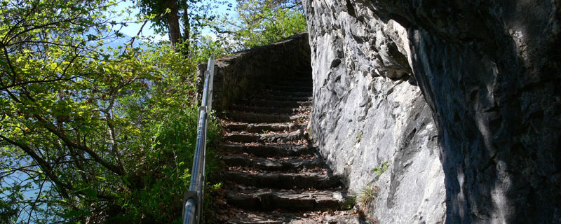
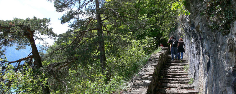
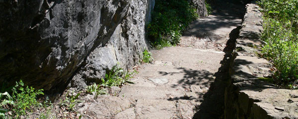
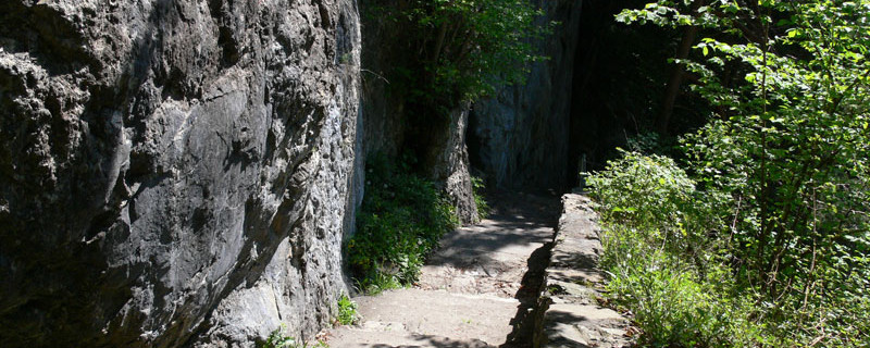
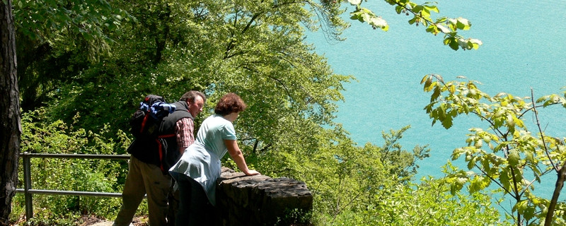
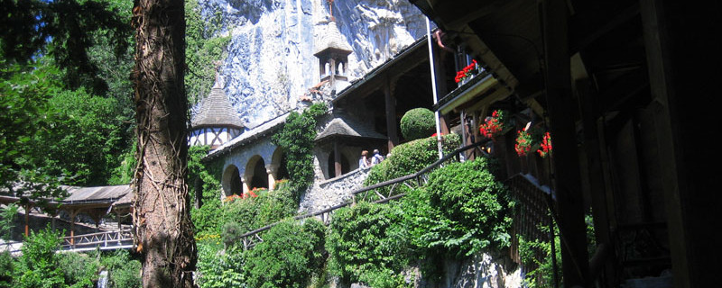
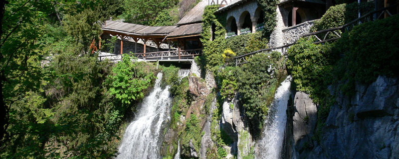
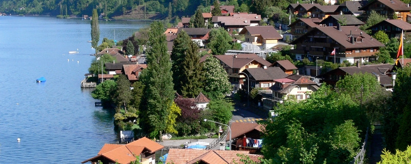
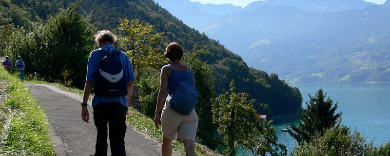
Leaving the historic little town of Unterseen, we pass through modern residential areas lining the banks of the River Aare and make our way to the ruins of Weissenau Castle where the Aare flows into Lake Thun. We follow the line of the Aare delta, passing a nature reserve and reaching the mouth of the River Lombach at Neuhaus. Bypassing the foot of the Niederhorn, we head for the bay of Sundlauenen, a popular day-trip destination. After passing through the Sundlauenen delta, we move back up to Thunerseestrasse. Crossing this, we reach the start of the impressive Luk-Treppe, the pilgrim’s path hewn into the rock that leads up to the entrance to the popular St. Beatus Caves, where Saint Beatus is said to have once lived. After this, much of the route passes through woodland. «Widmannsplatz» brings us to a viewing turret, where we take a break. The route to Merligen then crosses the Thunersee–Beatenberg funicular, shortly after which we reach a stage location where we need to decide whether to continue along the right bank or take a boat to Spiez.

Anmerkungen

The «Bernese Oberland Trail» leads from Brünig to Amsoldingen, southwest of Thun, in 3-4 stages. After Brienz, the main route tracks the right bank of the lake as far as Interlaken. This route is closed in winter as the suspension bridge for pedestrians at Eblingen will be dismantled owing to the risk of avalanche (information available from the local authority of Oberried). However, another route is available on the left bank via the Giessbach Falls, and this makes a highly attractive alternative in the summer. The main route follows the right bank of Lake Thun at first. From Merligen (and after a boat ride) it follows the left bank from Spiez to Amsoldingen; however, an alternative right-bank route via Thun is available from Merligen.

Orte entlang des Weges

Interlaken/Unterseen - Aare - Ruine Weissenau - Unteres Stadtfeld - Neuhaus - Sundlauenen - Sankt Beatus Höhlen - Balmholz - Merligen

 

Camino Europe ist kostenlos
GPS-Tracks, Informationen und Karten bieten wir zum kostenlosen und anonymen Download an. Alle für die Reise wichtigen Informationen wollen wir auch in Zukunft so anbieten können. Dank grosszügiger Spender, welche uns gelegentlich etwas Geld gespendet haben, war uns das bisher möglich. Jede noch so kleine Spende hilft uns, dass wir auch weiterhin ohne lästige Werbung dies so bieten können.

Der Download läuft bereits, ganz ohne Spende !
PS: Falls der Download nicht automatisch startet: hier klicken

Guten Tag

Möchten Sie Ihr Hotel, Restaurant oder Ihren Shop am Etappenziel bewerben? Mehr Informationen dazu:

https://camino-europe.eu/de/l/l2/

Herzliche Grüsse
Ihr Camino Europe Team