Accommodation and info points
Amsoldingen Uebeschi Blumenstein Längenbühl Forst Wattenwil Gurzelen Burgistein Riggisberg Mühleturnen RüeggisbergLinks and downloads
Navigation

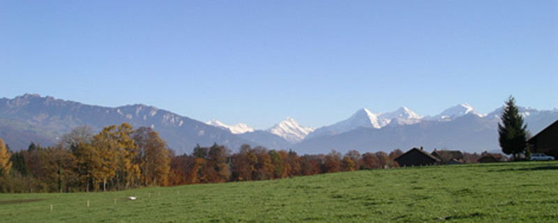
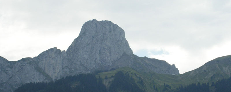
Stockhorn von Amsoldingen aus
Wir passieren heute folgende Sehenswürdigkeiten: Kirche Blumenstein, Kirche Wattenwil, Schloss Burgistein, Kirche Riggisberg, Klosterruine Rueggisberg
Bitte hier klicken für mehr Informationen

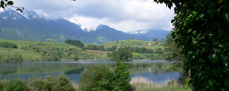
Lake of Uebeschi
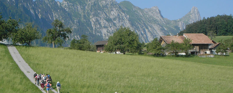
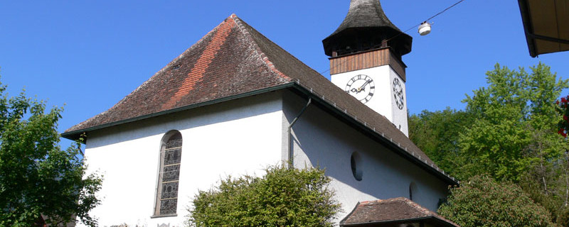
At its exit we turn off to the right onto a field road that takes us in an eastern direction along the gentle hill past the farmstead “Gänsemoos” to the hamlet of “Schubhus”. From there we take a field road via “Mühle” to Blumenstein. The church here, with glass paintings from the 13th century is worth a visit, but does not lie directly on our route. From the roundabout, we walk to the northern exit of the village to the inn “Bad Blumenstein”.

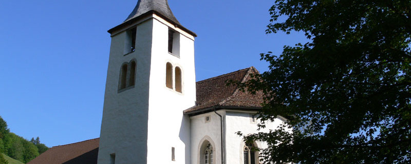
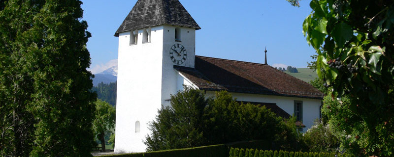
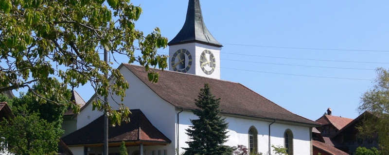
Parish church of Wattenwil
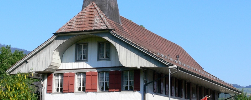
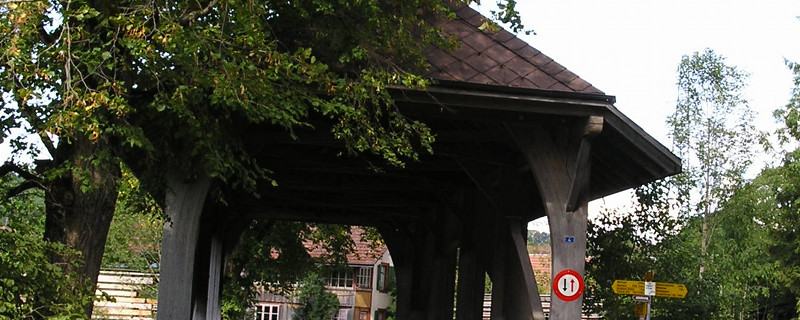
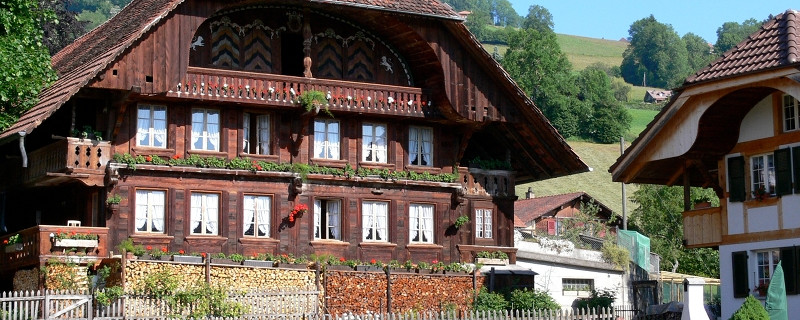
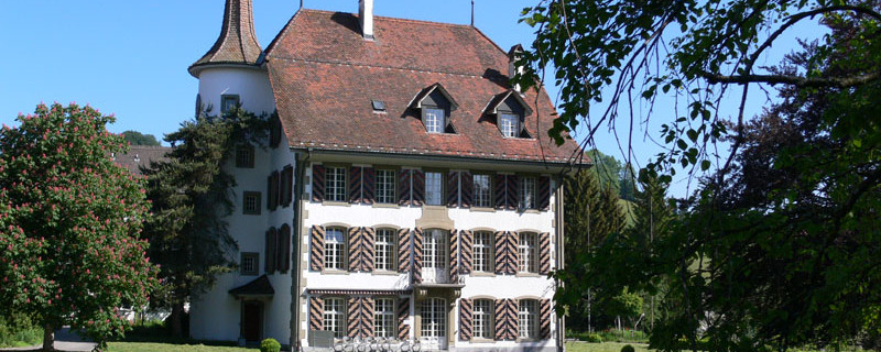
There, we turn off to the right onto a field path taking us along the “Fallbach” (brook) via pastureland into the wooded “Längmoos” and to where the Fallbach joins the brook “Gürbe”. After passing the wooden bridge (sawmill), we walk along the Gürbe, past the bridge “Chriegsried” to the next bridge where we turn sharp left into the village of Wattenwil. Past the roundabout and along the Dorfstrasse, we come to the reformed church. We turn to the right shortly behind the church and on a paved road and on field paths, we walk via “Hindere Rain” and past the houses of “Lörtscherei” to the village of Burgistein 150m higher up. After the inn “Bir Linde”, we turn off right into a field path that leads us past a pond and below the castle “Burgistein” to the hamlet of “Weierboden”. On the rise, we turn off to the right onto a paved carriageway and continue across fields and meadows to the farmstead “Breite” (pilgrim’s rest). A field path leads us from there northwards past the hamlet of “Elbsche” to the first houses of Riggisberg.

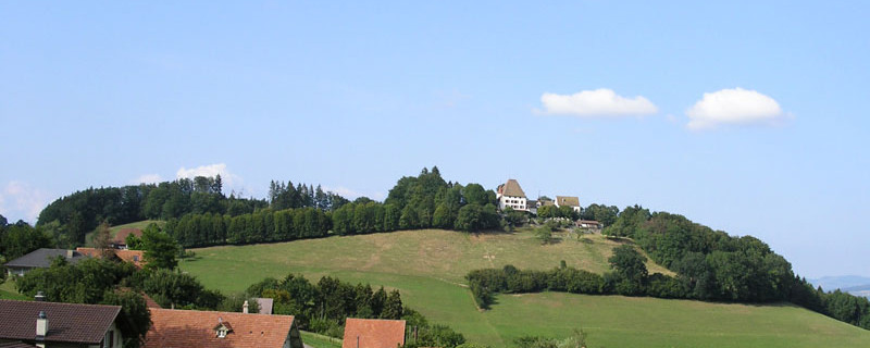
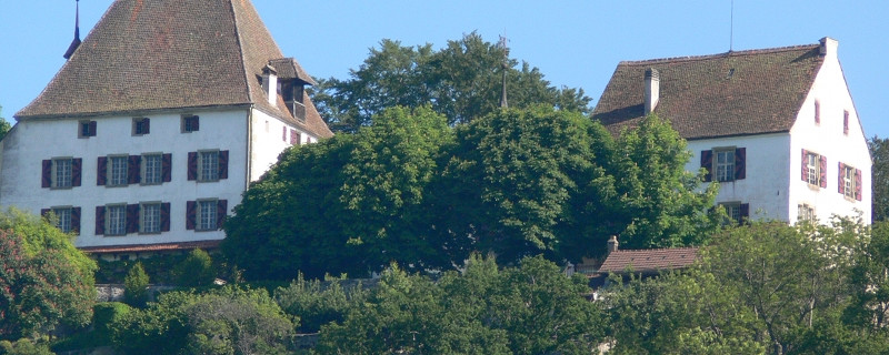
Castle of Riggisberg
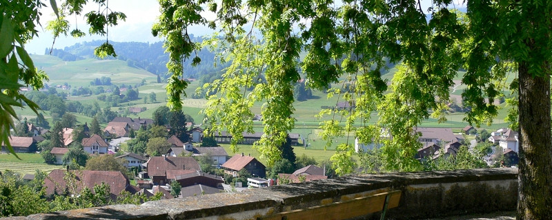
We follow the cantonal road until the village centre where we leave the Schwarzenburgstrasse and take the stairs up to the beautiful church of Riggisberg. From its terrace, we enjoy a magnificent outlook, ranging from the Emmental over the Lake Thun region and the Jungfrau region to the Gantrisch mountain chain in the foreground. We take the “Studigasse” past the church and up to the main road near the hospital. Shortly after, we leave the main road to take a field path on the left to come via mountain meadows, past the farm “Haselmatt” to “Tromwil”. From here we continue first along the main road, and after “Mättiwil” on a field path branching off to the left, to the village entry of Rüeggisberg.

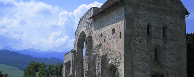
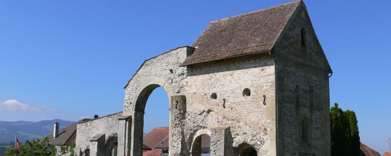
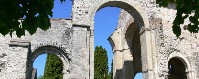
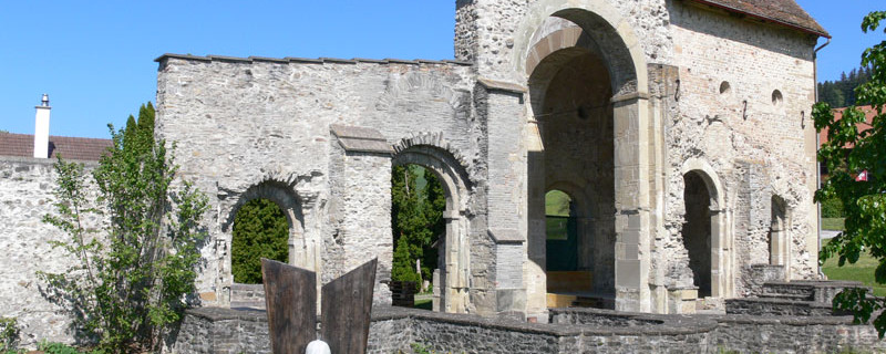
Monastery ruins of Rüeggisberg
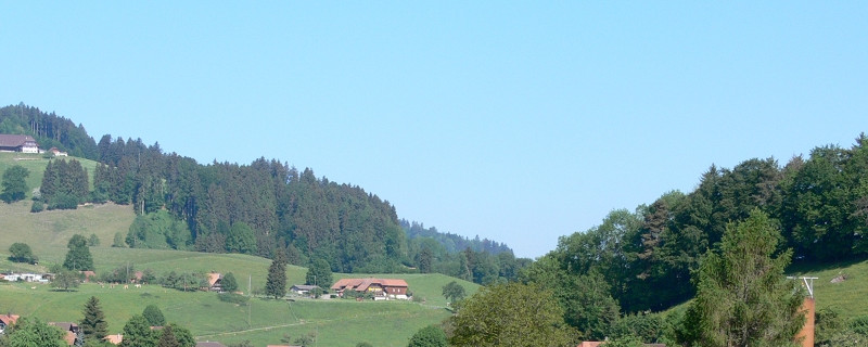
The route follows the crest of a chain of hills and we enjoy a beautiful outlook to the Bernese Alps, the Gantrisch region and the hilly country of the Schwarzenburg region. In Mättiwil before Rüeggisberg, we join the leg of the Way of St. James that comes from Lucerne. From the reformed St.Martin church, a field path leads us down to the big parking lot in front of the ruins of the former Clunian priory. This monastery, founded in 1072, cared mostly to the well-being of the pilgrims, but was closed in the 15th century. The history of the monastery is documented in a small exhibition in the museum beside the parsonage.
Anmerkungen
Der Abschnitt Amsoldingen - Rüeggisberg ist Teil des Gantrisch-Fribourg-Weges, welcher uns von Amsoldingen nach Romont / Moudon führen wird. Wir befinden uns auf den Schweizer Jakobswegen.
Orte entlang des Weges
Amsoldingen - Übeschisee - Übeschi - Blumenstein - Wattenwil - Burgistein - Weier - Riggisberg - Mättiwil - Rüeggisberg - Kloster - Schwarzwasser - Elisried - Henzischwand - Schwarzenburg

