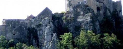
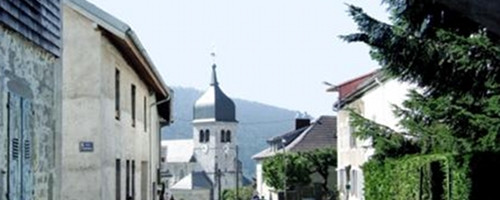
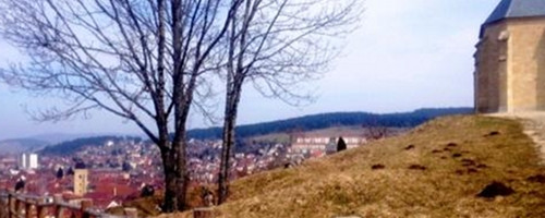
View of Pontarlier from Chapel Du Buis

View of Pontarlier from Chapel Du Buis

Todays itinerary since ancient times (Celts, Romans)already belonged to the most important traffic routes in this area. Until the 14th century, it represented the only Jura-Crossing (1008 m.o.s.) hikeable at all seasons. The Jura mountain range between Basel and Geneva forms the watershed between the Rhine (North Sea) and the Rhône (Mediterranean Sea). On Charlemagne's road map (9th century), this connection between Pontarlier across the Jougne pass to Italy is mentionned as the shortes connection, and it still is.

Note(s)

The «Via Francigena» is one of the 3 main christian pilgrimage trails of the Middle Ages, the main axis leading from Canterbury to Rome. This documentation currently covers the stretch from Pontarlier close to the F/CH border across Lausanne to Rome.

Anmerkungen

Die «Via Francigena» ist einer der 3 christlichen Pilgerwege des Mittelalters, dessen Hauptachse von Canterbury in England nach Rom führt. Diese Dokumentation umfasst vorerst den Abschnitt von Pontarlier  nach Rom.

Orte entlang des Weges

Pontarlier - Sandon - La Cluse - Le Frambourg - GR5 - Montpetot - Les Fourgs - Chapelle de Tourillot - La Béridoles - Les Hôpitaux Vieux - Les Hôpitaux Neufs - Col de Jougne - Jougne

Camino Europe ist kostenlos
GPS-Tracks, Informationen und Karten bieten wir zum kostenlosen und anonymen Download an. Alle für die Reise wichtigen Informationen wollen wir auch in Zukunft so anbieten können. Dank grosszügiger Spender, welche uns gelegentlich etwas Geld gespendet haben, war uns das bisher möglich. Jede noch so kleine Spende hilft uns, dass wir auch weiterhin ohne lästige Werbung dies so bieten können.

Der Download läuft bereits, ganz ohne Spende !
PS: Falls der Download nicht automatisch startet: hier klicken

Guten Tag

Möchten Sie Ihr Hotel, Restaurant oder Ihren Shop am Etappenziel bewerben? Mehr Informationen dazu:

https://camino-europe.eu/de/l/l2/

Herzliche Grüsse
Ihr Camino Europe Team