Bourg-St-Pierre

Bourg-St-Pierre

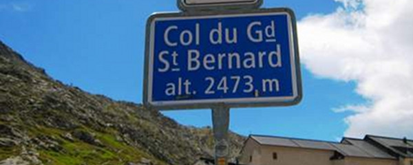
This s section takes us to the highest point of the pilgrimage between Lausanne and Rome, the alpine pass Grand-St-Bernard. We will have to climb from 1637 up to 2469 m.o.s. The length of the trails is only 12.4 km, but the 1000 meters of accumulated ascent and respiration at this altitude will be a challenge. Furthermore, The infrastructure on the pass will be the first and only settlement on our way, so food and beverage must be completed before departure. Our companions today will be the road (mostly protected by roofs against snow and rocks) as well as the very young Dranse d´Entremont.
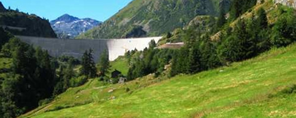
Staumauer des Lac des Toules

Staumauer des Lac des Toules

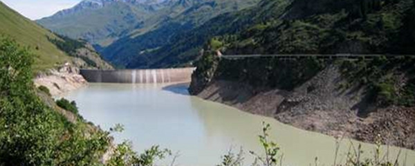
First we will see the dam of the «Lac des Toules», then gain altitude close to the dam and finally will be walking along the artificial lake for some 2 km. At the upper end of the lake, we will see the road disappear in a tunnel close to Bourg-St-Benard, at an altitude of about 1900m.o.s. The remaining road takes us to the pass but with much less traffic.

Lac des Toules

Lac des Toules

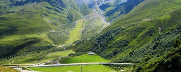
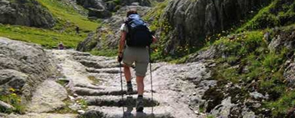
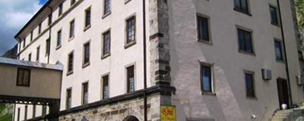
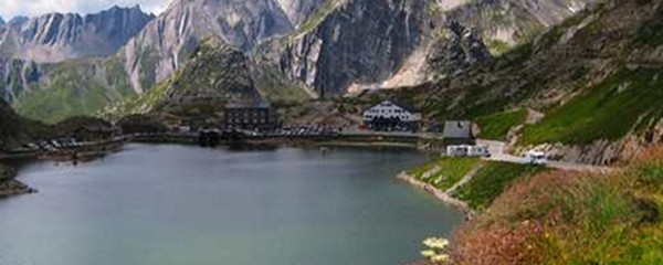
Leaving that place, we will start tackling the final ascent, on historic roman trails and former mule pathes. Passing through the steep valleys «Comba Marchanda» and Combe des Morts», we finally reach our destination, the Pass of Grand-St-Bernard, also the frontier to Italy. The hospice up there goes back to the year 1125, and was a combination of a hospital and a monastery initally.

Note(s)

The «Via Francigena» is one of the 3 main christian pilgrimage trails of the Middle Ages, the main axis leading from Canterbury to Rome. This documentation currently covers the stretch from Pontarlier close to the F/CH border across Lausanne to Rome.

Anmerkungen

Die «Via Francigena» ist einer der 3 christlichen Pilgerwege des Mittelalters, dessen Hauptachse von Canterbury in England nach Rom führt. Diese Dokumentation umfasst vorerst den Abschnitt von Pontarlier  nach Rom.


Orte entlang des Weges

Bourg-Saint-Pierre - Lac des Toules - Bourg-St-Bernard - La Pierre - L´Hospitalet - Comba Marchanda - Combe des Morts - Col du Grand-Saint-Bernard

Camino Europe ist kostenlos
GPS-Tracks, Informationen und Karten bieten wir zum kostenlosen und anonymen Download an. Alle für die Reise wichtigen Informationen wollen wir auch in Zukunft so anbieten können. Dank grosszügiger Spender, welche uns gelegentlich etwas Geld gespendet haben, war uns das bisher möglich. Jede noch so kleine Spende hilft uns, dass wir auch weiterhin ohne lästige Werbung dies so bieten können.

Der Download läuft bereits, ganz ohne Spende !
PS: Falls der Download nicht automatisch startet: hier klicken

Guten Tag

Möchten Sie Ihr Hotel, Restaurant oder Ihren Shop am Etappenziel bewerben? Mehr Informationen dazu:

https://camino-europe.eu/de/l/l2/

Herzliche Grüsse
Ihr Camino Europe Team