Navigation


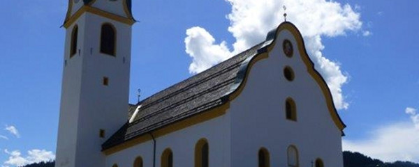
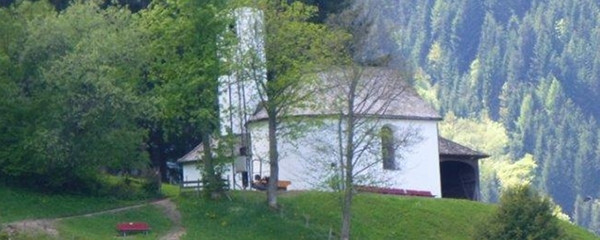
A worthwhile detour leads on the north side of the river up to the Marienkirche on the «Grattenbergl», there and back 20-30 minutes.
From the Grattenbrücke (only in the case of the detour to the Grattenbergl cross) keep to the right of the railway line. North of the train station and past Wörgl you will come to a T-junction. If you want to go to the center of Wörgl, turn left here. Right under the motorway and over a pedestrian bridge to the northern inner side, then to the left up a relatively steep gravel road. From here to the right you can make a longer but worthwhile detour to the popular pilgrimage site of Mariastein. The pilgrimage route from Kufstein leads right past it.

Here, however, follow the road to the west, straight ahead at a bend, and before the road crosses a stream, turn off at the edge of the forest onto a farm road that leads uphill to the right (district Achleit, municipality of Angerberg). At the front courtyard go through between the courtyard buildings and immediately behind it, first slightly downhill, then uphill to the northwest. At the next farm, go back through the buildings, downhill to the edge of the forest, from there gently uphill to the west to an asphalt road, on which it turns left (W) first at one
Anmerkungen
ACHTUNG: Neue Wegführung ab Sperten (St. Johann in Tirol). Nachdem ein Grundstücksbesitzer den Durchgang untersagt hat, verläuft der Weg NICHT mehr über den Römerweg, sondern über Oberndorf und dem Rerobichl nach Going. Beim Stanglwirt geht es wieder auf dem bestehenden Weg weiter.
Alternativ kann auch der beschilderte Moor&More Rocky Weg genutzt werden - dieser ist allerdings mit einigen Höhenmetern verbunden.
Orte entlang des Weges
St. Johann in Tirol - Kitzbüheler Ache - Aschauer Ache - Rettenbach - Stretthausen - Stangl - Going am Wilden Kaiser - Ellmau - Niedermoosen - Schattseite - Söll - Schwendt - Itterdörf - Bruckhäusl

