Navigation

Passo della Cisa

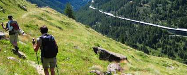
trübes Wetter nach dem Passo della Cisa
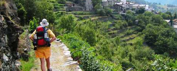
On this pass we also leave the road, the Via Francigena will continue on that altitude for some time, and we will also pass by the Passo Del Righedo. While the classic route passes through Groppodalosio, this «new» route passes more tot he west, mainly through woods across Monteluno. This trail counts 2.6 km less in distance and 260 meter of ascent less as well, which results in some 1/2 hours less in time to reach Pontremoli.

neue Wegsignalisierung bei Montelungo
That´s where we have successfully finished our crossing of the Apennines.The position of Pontremoli in the large valley where the Fiume Marga and the Torrente Verde do merge had a strategic relevancy at the time due to the wide view. Today, Pontremoli is popular for spending vacations there.
Note(s)
Die «Via Francigena» ist einer der 3 christlichen Pilgerwege des Mittelalters, dessen Hauptachse von Canterbury in England nach Rom führt. Diese Dokumentation gibt vorerst den meistbegangenen Abschnitt von Lausanne nach Rom wieder.
Anmerkungen
Die «Via Francigena» ist einer der 3 christlichen Pilgerwege des Mittelalters, dessen Hauptachse von Canterbury in England nach Rom führt. Diese Dokumentation umfasst vorerst den Abschnitt von Pontarlier nach Rom.
Tipp des Autors
Diese Variante hat die gleichen Start- und Zielpunkte Berceto und Pontremoli und wurde erstellt als Ersatz der Hauptroute bei nebligem und nassem nassem Wetter. Die Streckenführung ist zu Beginn identidsch mit der Hauptroute, trennt sich aber ein Paar Kilometer nach dem Passo della Cima un kehrt erst eingangs Pontremoli wieder mit der klassischen Hauptroute.
Orte entlang des Weges
Ostello Cisa - Passo della Cisa - Madonna della Guardia - Passo Del Righedo - Panorama - Montelungo Terme - Monti Pollina - Pont Podere - Mignegno - Pont Ospedale - Monti Porta Parma - Pontremoli


