Navigation

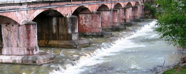
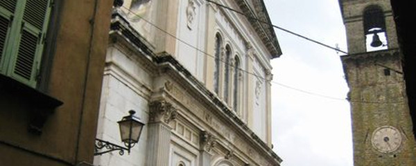
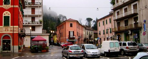
Pontremoli
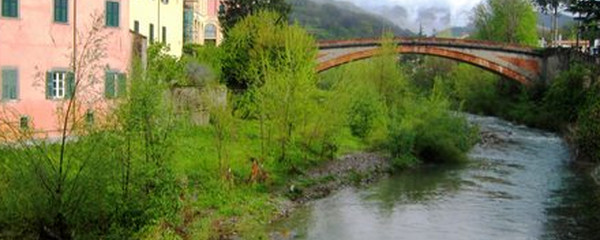
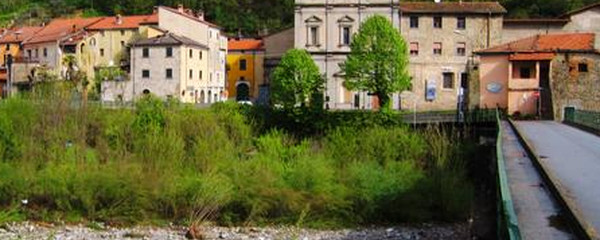
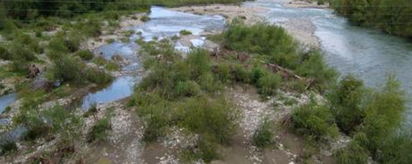
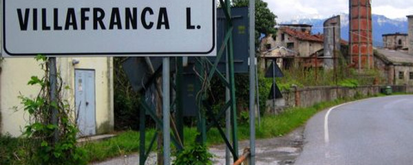
The largest agglomeration on our way today is Villafranca In Lunigiana, also suitable as a place to spend a night. The name Villafranca is based on the fact that pilgrims returning from Rome at at he time were allowed to settle here without the obligation to pay taxes or to do military service, but this has changed now. Lunigiana is the name of the territory between the Apennines and the Ligurian Sea. The name descents from the roman agglomeration around the harbour «Luni». Our destination Aulla is situated at the confluence of the Torrente Aulella with our today's companion, the Fiume Magra.
Note(s)
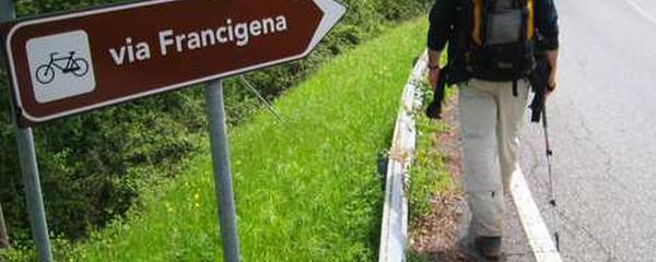
The «Via Francigena» is one of the 3 main christian pilgrimage trails of the Middle Ages, the main axis leading from Canterbury to Rome. This documentation currently covers the most frequented section from Lausanne to Rome.
Anmerkungen
Die «Via Francigena» ist einer der 3 christlichen Pilgerwege des Mittelalters, dessen Hauptachse von Canterbury in England nach Rom führt. Diese Dokumentation umfasst vorerst den Abschnitt von Pontarlier nach Rom.
Tipp des Autors
Die Etappen sind in dieser Dokumentation Vorschläge, die jeder Pilger seinen Wünschen anpassen kann. die technischen Daten betreffen aber immer die Annahme, diese Etappen würden jeweils an einem Tag absolviert.
Orte entlang des Weges
Pontremoli - Fiume Magra - Chiesa di Santa Christina - Santissima Annunciata - Santa Giustina - Pala - Scorcètoli-Monteluscio - Canale - Ponticello - Torrente Caprio - Migliarina - Filattiera - Municipio - Chiesa di San Giorgio - Pradaccio - Filetto - Villafranca In Lunigiana - Torrente Bagnone - Virgoletta - Castello di Virgoletta - Fornoli - Torrente Carpena - Terrarossa - Torrente Civiglia . Masero - Torrente Taverone - Aulla
