Accommodation and info points
Rom (Roma)Links and downloads
Navigation

hard to believe...

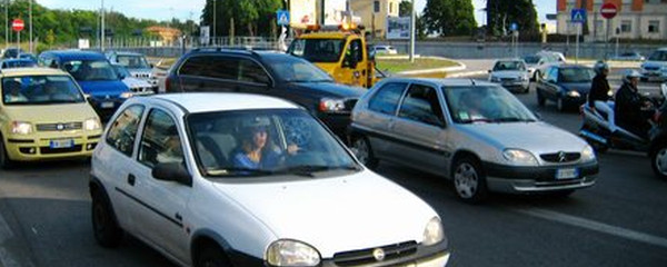
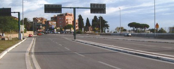
Evening traffic in Rome
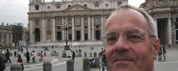
I would like to take this opportunity to express my thanks to the team of 5 volunteers, who have developped this documentation in 3 months during summer 2011, a description in 4 languages of the Via Francigena between Lausanne and Rome. Rob is the only one of this team who has made the pilgrimage to Rome, and he made available his great pictures to the team and to you. 3 other friends translated the German texts: Michel into French, Paolo into Italian and Ruth into English. Mario finally cared about the tracks, the profiles, the German texts and the team coordination. And last but not least, gps-tracks.com has sponsored to geo-referenced digital trail map needed.
Note(s)
The «Via Francigena» is one of the 3 main christian pilgrimage trails of the Middle Ages, the main axis leading from Canterbury to Rome. This documentation currently covers the most frequented section from Lausanne to Rome.
Anmerkungen
The "Via Francigena" is one of the three Christian pilgrimage routes of the Middle Ages, the main axis of which leads from Canterbury in England to Rome. This documentation initially covers the section from Pontarlier to Rome.
Tipp des Autors
This tour was first recorded on gps-tracks.com in 2011, then migrated to outdooractive.com as part of a takeover in 2017 and now completely revised in the 1st quarter of 2020.
Orte entlang des Weges
La Storta - Casale Spizzichino - La Giustiniana - Ipogeo Degli Ottavi - Roma - Ottavia - S.Filippo Neri - Monte Mario - Via Trionfale - Monfortani - Piazzale Delle Medaglie D'Oro 62 - Piazza San Pietro
