Navigation

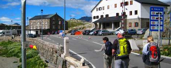
Grenzübertritt auf dem Col du Gd St-Bernard
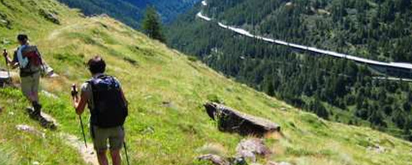
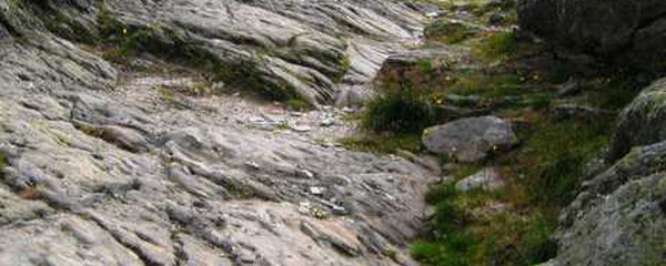
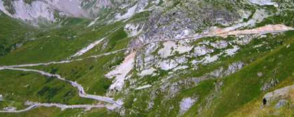
Fortunately, we needn't walk on the road; an alpine trail will lead us comfortably downhill. As this descent is less challenging than the ascent the day before, we will be able to focus on how vegetation changes from the very resistant, small alpine plants to greener and larger plants, then bushes and finally the first, individual trees, before becoming woods.

unterwegs in Sichtweite der Pass-Strasse
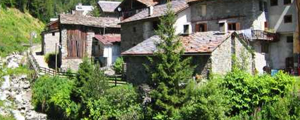
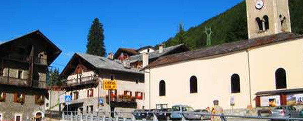
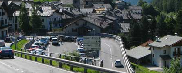
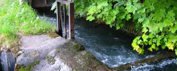
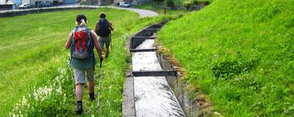
St-Rhémy is the first village we will encounter on Italian territory, at 1620 m.o.s From here on, further villages will follow offering accommodation. Etroubles further down the way is a place popular for spending holidays. When leaving this place, we pass by a farm named «Château Verdun». During the Middle Ages, they supplied food products to the hospice, while today they offer accomodation and food to pilgrims. On the lower segments of today's stage, along our trail, we will encounter traditional, open irrigation channels, as we can still find in alpine areas with little rainfall. This trail ends at a pilgrims hostel in the upper part of the Echevennoz village.
Note(s)
The «Via Francigena» is one of the 3 main christian pilgrimage trails of the Middle Ages, the main axis leading from Canterbury to Rome. This documentation currently covers the most frequented section from Lausanne to Rome.
Anmerkungen
Die «Via Francigena» ist einer der 3 christlichen Pilgerwege des Mittelalters, dessen Hauptachse von Canterbury in England nach Rom führt. Diese Dokumentation umfasst vorerst den Abschnitt von Pontarlier nach Rom.
Tipp des Autors
Die Etappen sind in dieser Dokumentation Vorschläge, die jeder Pilger seinen Wünschen anpassen kann. die technischen Daten betreffen aber immer die Annahme, diese Etappen würden jeweils an einem Tag absolviert.
Orte entlang des Weges
Col du Grand-Saint-Bernard - Lago Gran San Bernardo - Piu XI - St-Rhémy-en-Bosses - Saint-Léonard - Saint-Oyen - Etroubles - Echevennoz
