Navigation

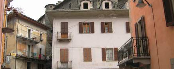
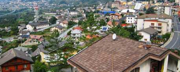
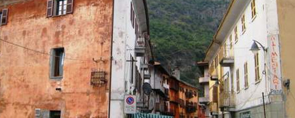
Blick zurück auf Châtillon

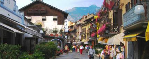
Saint-Vincent
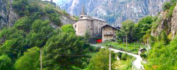
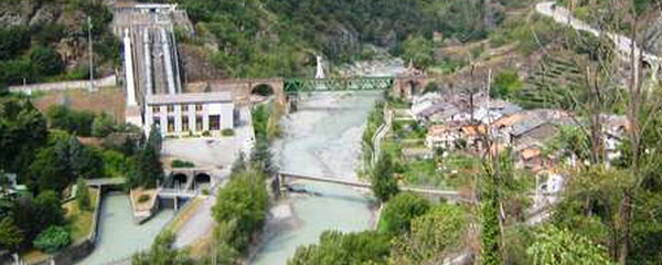
The first major site on this stage is Saint-Vincent, which also is a well suited place to spend a night. The Dorea Bàltea, which has been flowing east until here, does turn right now, will therefore flow south, and we do follow that direction as well. In Chenal, the local castle is worth to look at for a moment, before we continue towards Montjovet. There, we will be impressed by the Montjovet fortress (also called Castello die St.Germain), constructed on a rock , built in the 11th century, and enhanced in 1534.

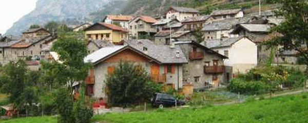
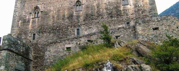
Blick zurück auf Saint-Vincent
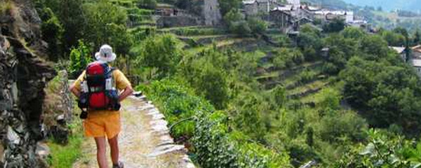
The current main trail from here on leads over a hill with a culmination point at 750 m.o.s. to todays destination Verrès. However, there is an alternate trail with approximately the same length, but a cummulated ascent of 200 meters less. Verrès has a set of medieval buildings which have survived the centuries, e.g. a convent dating back to 925, the castle Verrès built in 1390 or the church whose oldest parts date back to the 16th century.
Note(s)
The «Via Francigena» is one of the 3 main christian pilgrimage trails of the Middle Ages, the main axis leading from Canterbury to Rome. This documentation currently covers the most frequented section from Lausanne to Rome.
Anmerkungen
Die «Via Francigena» ist einer der 3 christlichen Pilgerwege des Mittelalters, dessen Hauptachse von Canterbury in England nach Rom führt. Diese Dokumentation umfasst vorerst den Abschnitt von Pontarlier nach Rom.
Tipp des Autors
Die Etappen sind in dieser Dokumentation Vorschläge, die jeder Pilger seinen Wünschen anpassen kann. die technischen Daten betreffen aber immer die Annahme, diese Etappen würden jeweils an einem Tag absolviert.
Orte entlang des Weges
Châtillon - Saint-Vincent - Cillian - Champ de Vigne - Chènal - Provaney - Buquet - Toffo - Vignola - Monjovet - Creston - Quignonnaz - Riverolaz - Torille - Fleuran - Verrès
