Navigation

Wehrdorf Bibola

Ponzano Superiore
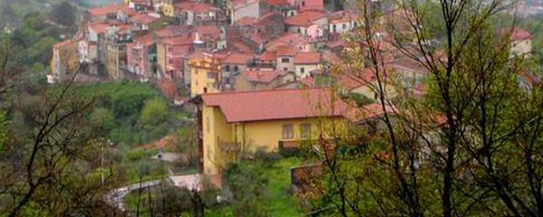
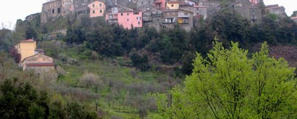
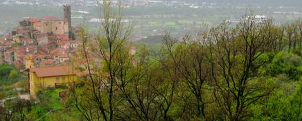
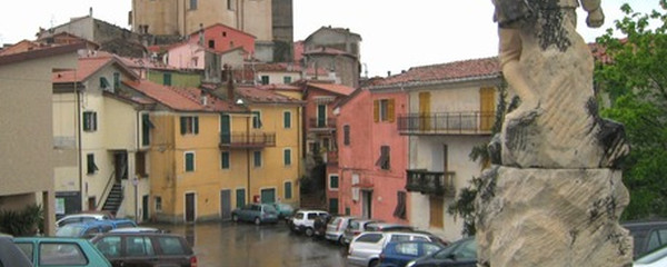
The Via Francigena as a consequence now bypasses this bottleneck across the Apennine mountains on the left side of the river, where we pass by the Monte Porro (580 m.o.s.) first, then also by the Monte Grosso (663 m.o.s.), before we return down to the broader valley behind the canyon. When passing the Monte Porro, we will encounter a picturesque, fortificated village on a hill, named Bibola. Later on, we will pass a village named Ponzano Superiore, that's where we will see the Mediterranean Sea for the first time, or its bay of La Spezia, to be specific. Later on, to our left again, we will see quarries where the famous Carrara Marble comes from.

Ponzano Superiore
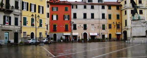
After this panoramic hike across the hills, on a trail developped by the Italian Alpine Club, we will get to Sarzana, one of the most eastern communities of the Liguria region, which we briefly touch here. Sarzana has an interesting history, like many places here, and some of us may be happy to finish todays hike now. For those who continue, in the flat lands : Avenza is slightly less than 20 km away from here.
Note(s)
The «Via Francigena» is one of the 3 main christian pilgrimage trails of the Middle Ages, the main axis leading from Canterbury to Rome. This documentation currently covers the most frequented section from Lausanne to Rome.
Anmerkungen
Die «Via Francigena» ist einer der 3 christlichen Pilgerwege des Mittelalters, dessen Hauptachse von Canterbury in England nach Rom führt. Diese Dokumentation umfasst vorerst den Abschnitt von Pontarlier nach Rom.
Tipp des Autors
Die Etappen sind in dieser Dokumentation Vorschläge, die jeder Pilger seinen Wünschen anpassen kann. die technischen Daten betreffen aber immer die Annahme, diese Etappen würden jeweils an einem Tag absolviert.
Orte entlang des Weges
Aulla - Chiesa San Gabrasio - Torrente Aulella - Case Burcione - Bìbola - Cimiterro Vecchietto - Vecchietto - Il Chiapparo - Ponzano Superiore - Castello Brina - I Grisei - Torrente Calcandola - Sarzana - Commune di Sarzana - Canale Lunense - Fortezza Castracani - Sarzanello - Caniparola - Colombiera-Molicciara - Provasco - Via Appia - Area archeeologica di Luna - Via Appia Vecchia - Portonetti - Torrente Parmignola - Torrente Carrione - Avenza
