Navigation

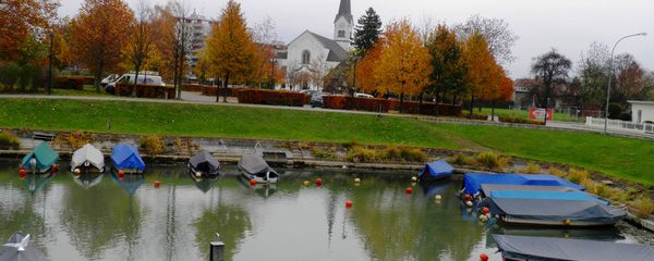
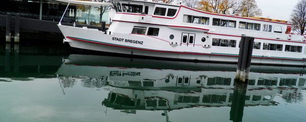
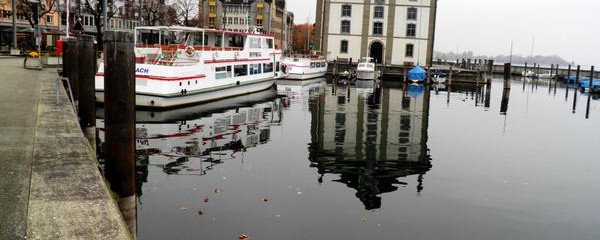
am Hafen von Bregenz
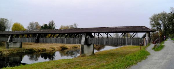
But the stage offers something for the eyes. From the triangle of harbour, railway station and lake stage we leave Bregenz along the lake past the monastery of Mehrerau and meet boat harbours, beaches, sports facilities and secluded walking paths up to Bregenzer Ach. We already talked about the Bregenzer Ach the day before at Weiler i.A., today we cross it on a quite new bridge in the green zone.

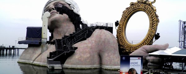
Seebühne Bregenz
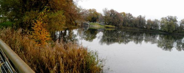
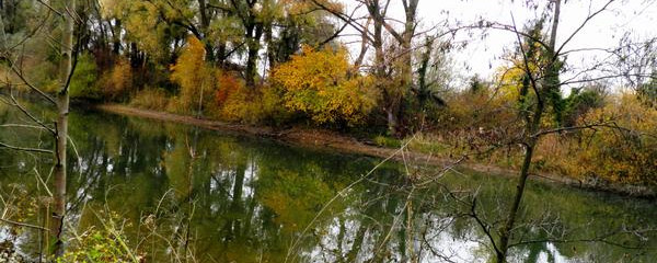
Shortly thereafter we come across the Rhine, which we only see when we cross it, because because of the high dams one sees only the Lustenauer canal, which drains the local water towards Lake Constance, on the eastern side of the Rhine dam. Crossing the Rhine, the small village Fussach welcomes us, and southwards we reach the larger village Höchst, with which we soon have reached the old riverbed of the Rhine. We cross this river between Gaissen and Rheineck, and thus also arrive in Switzerland. With the idyllic "old Rhine" to our right, only the motorway to our left disturbs us. We can't see it because of the noise barriers, but we can still hear it.
Anmerkungen
Der Münchener Jakobsweg sammelt Pilger aus dem Raum München sowie aus dem Osten und Norden davon und führt sie an das östliche Ufer des Bodensee.
Tipp des Autors
Die Etappen sind in dieser Dokumentation Vorschläge, die jeder Pilger seinen Wünschen anpassen kann. die technischen Daten betreffen aber immer die Annahme, diese Etappen würden jeweils an einem Tag absolviert.
Orte entlang des Weges
Bregenz - Seebühne - Kloster Mehrerau - Bregenzer Ach - Hard - Lustenauer Kanal- - Rhein - Fussach - Höchst - Gaissau (A) - Alter Rhein - Rheineck (CH) - Altenrhein/Flugplatz - Speck - Staad - Rorschach
